A standard aerial photograph is a flat, silent witness to a space that demands depth and intelligence. While traditional drone imagery provides a visual overview, it often fails the rigorous demands of complex logistics, leaving planners to grapple with inaccurate site measurements and the friction of spatial layouts that lack data utility. High-precision aerial LiDAR mapping for large scale events represents the necessary evolution, moving beyond passive pixels to create a high-fidelity operational engine. It's the difference between seeing a venue and truly owning its dimensions.
You recognize that in the high-stakes world of event operations, a few centimetres of error can translate into thousands of dollars in lost sponsor visibility or critical safety delays. We'll show you how to architect the invisible by transforming physical grounds into intelligent digital twins that are upgraded for business. You'll learn how 360INT leverages the next evolution of Matterport technology to deliver centimetre-accurate data that streamlines vendor coordination, enhances safety planning, and provides the measurable spatial intelligence required to drive tangible ROI.
Key Takeaways
- Elevate beyond passive 2D photography to embrace active spatial intelligence that captures the precise depth and dimension of complex environments.
- Implement aerial LiDAR mapping for large scale events to generate high-density point clouds, providing a centimetre-accurate architectural foundation for sites spanning hundreds of hectares.
- Drive measurable ROI by transforming event grounds into intelligent digital twins that serve as high-performance experience sales tools for MICE and venue visualization.
- Streamline vendor coordination and safety planning through a strategic framework that ensures accountability from the initial site scan through the final build phase.
- Understand the 360INT advantage, where foundational scanning technology is evolved into a sophisticated business platform designed for global enterprise operations.
Table of Contents
- The Evolution of Spatial Data: Why Standard Aerial Photography Fails Large-Scale Events
- Precision at Scale: Technical Capabilities of Drone-Based LiDAR Mapping
- Operational ROI: Turning Spatial Data into Event Sales and Engagement
- A Strategic Framework: Planning Your Aerial LiDAR Mapping Campaign
- The 360INT Evolution: Upgrading LiDAR for Business Intelligence
The Evolution of Spatial Data: Why Standard Aerial Photography Fails Large-Scale Events
A photograph is a lie of perspective. It captures a moment but ignores the truth of the terrain. For massive activations, relying on standard 2D drone imagery is a gamble that sophisticated operators can no longer afford to take. While a high-resolution photo might look impressive in a pitch deck, it lacks the underlying soul of data required to manage complex logistics. Traditional photography is passive. It records light bouncing off surfaces but tells you nothing about the true elevation of a slope or the exact volumetric capacity of a temporary structure. This is where aerial LiDAR mapping for large scale events transforms the narrative from simple observation to absolute spatial authority.
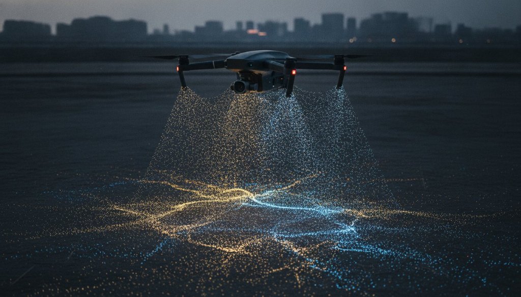
To understand this shift, we must first ask: What is LiDAR? At its core, Light Detection and Ranging is an active remote sensing method. It doesn't just wait for the sun to illuminate a scene; it fires thousands of laser pulses per second to measure the precise distance between the sensor and the ground. This creates a high-density point cloud, a mathematical replica of the physical world. For global brands and luxury event planners, this isn't just a technical upgrade. It's the birth of Spatial Intelligence, a framework where every square centimetre of a site is measurable, predictable, and operational.
The Limitations of Traditional Drone Imagery
Standard drone photos suffer from inherent distortion. Perspective shifts as the camera moves, making it impossible to pull reliable measurements directly from an image. These "pretty pictures" don't translate to operational efficiency because they lack a Z-axis. You can see the ballroom or the festival grounds, but you can't calculate the exact slope for a stage build or the clearance under a canopy with centimetre-level certainty. Passive systems leave too much to chance. They provide a visual overview but fail to offer the rigorous data needed for high-stakes site planning.
LiDAR: The Foundation of the Intelligent Digital Twin
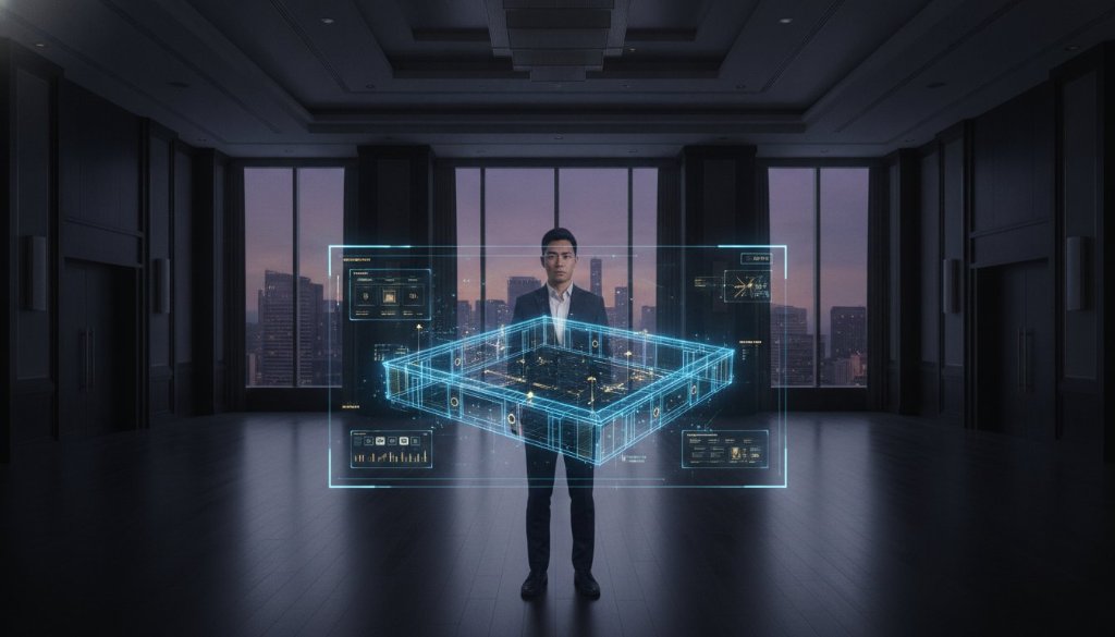
LiDAR is different. It sees through the noise. Because the laser pulses can penetrate gaps in vegetation and scaffolding, they create a "bare earth" model that photography simply cannot replicate. This data forms the skeleton of a digital twin, a living, breathing asset that 360INT upgrades for business utility. By using aerial LiDAR mapping for large scale events, we move beyond visual references. We build a high-fidelity 3D environment where vendors, sponsors, and safety teams interact with a single source of truth. It's not just a map. It's an intelligent engine for commerce and coordination.
Precision at Scale: Technical Capabilities of Drone-Based LiDAR Mapping
Vast landscapes require a methodology that balances speed with surgical precision. Traditional surveying methods are often too slow for the rapid pace of event production, while basic drone photography lacks the technical depth needed for complex engineering. The precision of aerial LiDAR mapping for large scale events allows for the capture of hundreds of hectares in a single flight session, distilling massive physical environments into manageable, high-density point clouds. These datasets serve as the definitive source for architectural documentation, providing a structural skeleton that photography alone cannot produce. As NOAA explains LiDAR, the technology uses light pulses to generate precise, three-dimensional information about the shape of the Earth and its surface characteristics, creating a foundation that is both measurable and actionable.
We don't just provide raw data; we deliver intelligence. By integrating LiDAR with high-resolution photogrammetry, 360INT creates photorealistic digital twins that possess both visual soul and technical rigor. This combination produces inspection-grade assets that are essential for safety and compliance. It's a shift from a simple visual aid to a robust operational tool where every pixel is tethered to a real-world coordinate. If you're ready to see how this intelligence applies to your specific site, you can request a tailored mapping strategy to begin the transformation.
Centimetre-Level Accuracy for Site Logistics
Logistical failures are usually the result of "fitment" errors. When a stage or marquee is designed for a space that hasn't been accurately measured, the resulting friction causes delays and budget overruns. Leveraging aerial LiDAR mapping for large scale events eliminates these variables by providing exact topographical data. This level of detail is critical for planning drainage routes and power cable runs across uneven terrain. In a professional mapping context, relative accuracy defines the precision of measurements between points within a local dataset; absolute accuracy describes the coordinate precision of those points in relation to their true position on the Earth's surface.
Mapping Beyond the Ground: Superyachts and Vertical Structures
The utility of LiDAR extends far beyond the horizontal plane. For luxury activations involving superyachts, our technology captures the complex geometry of the vessel for refit planning or high-end event hosting. We apply the same level of detail to verticality, mapping multi-level stadium seating and intricate temporary structures with ease. By leveraging our specialized drone scanning services, event architects can visualize sightlines and structural clearances in a 3D environment long before the first truck arrives on site. It's about moving from a position of uncertainty to a position of absolute spatial command.
Operational ROI: Turning Spatial Data into Event Sales and Engagement
Data is the new currency of high-end event production. However, raw data remains static without a strategic layer of intelligence. While traditional mapping provides a flat reference, aerial LiDAR mapping for large scale events delivers a dynamic platform that accelerates the sales cycle. For MICE (Meetings, Incentives, Conferences, Exhibitions) professionals, this technology isn't just a survey tool; it's a high-performance experience sales tool. By providing a centimetre-accurate digital twin, venue owners can offer global stakeholders the ability to navigate a space with absolute confidence, effectively qualifying leads before a single flight is booked. This level of spatial command is why professional geospatial bodies, such as those utilizing the USGS LidarExplorer, rely on these datasets for critical infrastructure mapping. We bring that same level of scientific rigor to the commercial event landscape.
The most common objection to advanced mapping is the perceived cost. We challenge that perception by reframing LiDAR as a strategic investment in risk mitigation. One fitment error on a massive festival stage or a miscalculated power run across a 50-hectare site can cost more than the entire mapping campaign. By creating a single source of truth, you eliminate the need for repeated, costly site visits by multiple vendors. Every stakeholder, from the lighting designer to the catering lead, operates from the same intelligent model. This is the next evolution of Matterport, where the foundational scan is upgraded for business utility to ensure that every operational decision is rooted in measurable fact rather than visual guesswork.
Venue Visualization for Global Stakeholders
International event planners often manage sites they've never physically stepped on. Our digital twins bridge this gap by enabling remote site inspections that feel immediate and immersive. By integrating the scan with immersive experiences, we allow sponsors to visualize their branding in a 3D environment. They don't just see a map; they see their logo on the digital twin of a premium marquee, providing a tangible sense of ROI that traditional pitch decks lack. It's about selling a vision through the lens of technical certainty.
Safety and Crowd Dynamics Modelling
Safety isn't a checkbox; it's a spatial challenge. Accurate maps are the bedrock of effective emergency egress planning and crowd flow management. By integrating LiDAR data with security protocols, organizers can provide local authorities with inspection-grade assets that detail every exit, bottleneck, and terrain variation. This proactive approach to spatial data significantly reduces insurance liability and enhances the overall security posture of the event. When you own the data, you own the safety of the experience.
A Strategic Framework: Planning Your Aerial LiDAR Mapping Campaign
Success in large-scale event operations isn't a product of chance. It's the result of a rigorous, multi-phase mapping lifecycle that begins long before the first guest arrives. Implementing aerial LiDAR mapping for large scale events requires a shift from viewing data as a static snapshot to treating it as a living operational timeline. In the pre-event phase, we capture the "blank canvas." This provides the essential architectural documentation that informs every subsequent design choice. Without this baseline, you're building on assumptions. With it, you're architecting on a foundation of absolute certainty.
As the project moves into the build phase, the digital twin becomes a tool for accountability. You can track construction progress in near real-time, ensuring that vendors comply with the precise spatial layouts established in the planning stage. When the event goes live, the data evolves into a platform for real-time spatial management and heat-mapping, allowing directors to visualize crowd flow and asset utilization. Finally, the post-event phase uses the initial scans to guide site restoration. This historical documentation is vital for high-end venues and sensitive environments, proving that the grounds have been returned to their original state with surgical accuracy. If you're ready to integrate this framework into your next activation, consult with our spatial architects to define your mission parameters.
Phase 1: Defining the Spatial Scope
Efficiency demands focus. Not every square metre of a 200-hectare site requires the same level of granularity. We identify high-density zones, such as main stages and VIP pavilions, where maximum detail is non-negotiable, while general perimeter mapping maintains a broader overview. Setting the required Ground Sample Distance (GSD) is the pivot point of this strategy. Ground Sample Distance (GSD) serves as the critical metric for drone mapping quality because it defines the distance between two consecutive pixel centers on the ground, directly determining the level of spatial resolution and detail available in the final digital twin.
Phase 2: Data Integration and Functionality
Raw point clouds are merely the raw materials. To create true value, 360INT transforms these datasets into interactive business platforms that are upgraded for business. We don't just hand over a file; we build an intelligent environment. By adding custom storytelling layers, we allow investors and premium sponsors to engage with the site's potential in a way that feels visceral. This digital twin is engineered for accessibility, ensuring that on-site teams can pull up centimetre-accurate data on any device, from the production office to the field. It's the next evolution of Matterport, where technical depth meets seamless commercial interaction.
The 360INT Evolution: Upgrading LiDAR for Business Intelligence
A drone is often viewed as a simple camera in the sky. We see it as a precision instrument for architectural storytelling. Most providers deliver a raw file; 360INT delivers a world. Industry standard drone services typically stop at the point cloud, leaving the client to decipher complex datasets. We begin where they end. As visionary architects of digital environments, we transform raw spatial data into high-performance business assets that drive measurable results. This is the "Utilised Matterport. Enhanced by 360INT" philosophy. It's a commitment to taking foundational technology and layering it with the strategy, interaction, and intelligence required by global enterprises. Through aerial LiDAR mapping for large scale events, we move beyond the limitations of hardware to provide a holistic operational engine.
The transition from a passive visual to an active business tool is the hallmark of the 360INT evolution. We've moved the narrative away from "virtual walkthroughs" and toward intelligent digital twins that function as commerce platforms. By integrating proprietary interactive layers, we turn a static scan into a dynamic environment where every pixel carries business utility. This is the next evolution of Matterport, specifically upgraded for business. We don't just show a space; we provide the tools to sell, manage, and optimize it. It's a shift from observation to absolute spatial command, ensuring your event grounds are as intelligent as they are expansive.
Beyond the Static Scan: Intelligent Environments
A scan without context is just noise. We add the "soul" and intelligence to physical site data by embedding functional layers that speak the language of your business. For the hospitality and MICE sectors, our specialized measurement tools are revolutionary. They allow venue managers to drive direct bookings by giving clients the power to plan every detail within a centimetre-accurate space. By evolving traditional virtual tours into sophisticated experience sales tools, we ensure that your digital presence acts as a high-performing engagement platform. It's about creating a guided journey that qualifies leads and enables faster decision-making for international stakeholders.
Your Global Partner in Spatial Experience
Our commitment to high-fidelity results has made 360INT the trusted partner for global brands and luxury assets. We understand the nuances of high-end markets and use technology as a tool for both technical rigor and emotional connection. The strategic advantage of data-driven experience marketing cannot be overstated. It's the difference between a passive experience and a powerful sales engine. Your event site is no longer just a physical location; it's a measurable business asset. It's time to stop looking at pictures and start leveraging intelligence. 360INT is ready to transform your physical grounds into an intelligent digital twin that works for your bottom line.
Command Your Spatial Future
Passive imagery is a relic of the past. To lead in the world of high-stakes activations, you must move beyond the flat limitations of traditional photography and embrace the absolute certainty of spatial intelligence. We've explored how aerial LiDAR mapping for large scale events provides the inspection-grade 3D assets necessary to eliminate fitment errors, streamline global vendor coordination, and unlock new dimensions of sponsor ROI. Through the philosophy of "Utilised Matterport. Enhanced by 360INT," your event grounds become more than a location. They become a measurable, interactive commerce platform.
360INT is trusted by global luxury brands to architect these digital worlds with surgical precision. We don't just provide hardware; we provide a visionary partnership that turns complex physical terrain into a strategic advantage. It's time to stop managing by guesswork and start leading with data. We invite you to request a consultation for your next high-fidelity event mapping project and discover the next evolution of spatial experience. Your vision deserves a foundation of technical perfection.
Frequently Asked Questions
What is the difference between drone photography and aerial LiDAR mapping?
Drone photography captures a passive visual representation, while aerial LiDAR mapping for large scale events generates an active, three-dimensional data model. Unlike standard photos that suffer from perspective distortion, LiDAR pulses penetrate through structures and vegetation to create a true ground model. It's the difference between a pretty picture and a measurable digital twin upgraded for business utility.
How long does it take to map a large-scale event site using LiDAR?
Efficiency is a hallmark of our process. We can map hundreds of hectares in a single flight session, often completing the data capture for a massive festival ground or stadium complex in just one day. While traditional ground surveys might take weeks, our drone-based systems deliver high-fidelity results with surgical speed, allowing you to move into the planning phase without delay.
Can aerial LiDAR data be integrated into existing event management software?
Seamless integration is essential for operational utility. The high-density point clouds we generate are compatible with industry-standard CAD, BIM, and GIS platforms used by architects and engineers. 360INT goes further by transforming this raw data into interactive business environments that your team can access on any device, ensuring spatial intelligence is integrated into every workflow.
Is LiDAR mapping suitable for indoor event venues as well as outdoor grounds?
While aerial systems are engineered for vast outdoor landscapes and complex vertical structures, we utilize complementary terrestrial scanning for indoor ballroom and exhibition spaces. This creates a unified digital twin where the interior and exterior data are perfectly aligned. It's a holistic approach that ensures every square metre of your venue is captured with absolute precision.
What level of accuracy can we expect from 360INT’s aerial LiDAR services?
We provide centimetre-level accuracy that standard GPS and photography simply cannot match. Our systems achieve high-fidelity relative and absolute accuracy, ensuring that every measurement pulled from the digital twin is reliable for engineering and construction fitment. This technical rigor eliminates the fitment errors that often plague large-scale event builds, protecting your budget and your timeline.
How does LiDAR mapping help with event safety and emergency planning?
Safety is a spatial challenge that demands perfect data. By utilizing aerial LiDAR mapping for large scale events, organizers can model crowd dynamics, identify bottlenecks, and plan emergency egress routes with total certainty. These inspection-grade assets provide local authorities and security teams with a single source of truth, significantly reducing liability and enhancing the overall security posture of the activation.
Can we use the LiDAR digital twin for sponsor activations and marketing?
Absolutely. We transform the technical scan into a powerful experience sales tool. Sponsors can visualize their branding in a 3D environment, allowing them to see the value of premium placements before the build begins. This is the next evolution of Matterport, where data serves as an engagement platform to drive sponsor ROI and secure high-value partnerships.
What are the technical requirements for viewing a 3D LiDAR point cloud?
We remove the technical barriers often associated with complex data. While raw point clouds require specialized software, 360INT delivers an upgraded business solution accessible via standard web browsers. Your stakeholders don't need high-end workstations; they only need a secure link to interact with a sophisticated, data-rich environment that feels intuitive and responsive on any device.