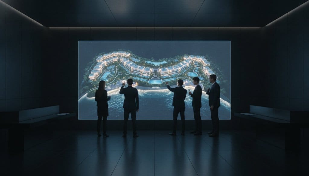
Standard aerial photography is no longer enough to capture the soul of a multi-million dollar estate. It's flat. It's dated. It fails to convey the true scale of a complex landscape. You've likely felt the frustration of trying to document vast site topography or inspect a high-value roofline from a simple two-dimensional image. You know that high-end clients demand more than a static view; they require an immersive connection to the property's spatial reality. This is where traditional media falls short and spatial intelligence begins.
This guide explores how 3D drone mapping for luxury real estate transforms physical assets into high-fidelity digital twins. These aren't just pictures. They're interactive, data-rich environments that serve as both marketing masterpieces and precise architectural assets. Discover how to bridge the gap between emotive storytelling and technical precision. We'll examine the seamless integration of these models into your sales platforms, ensuring your portfolio stands out in a market where 49% of professionals are already leveraging aerial technology to secure a competitive edge.
Key Takeaways
- Transcend the limitations of flat, 2D imagery by embracing spatial intelligence, turning standard aerial views into immersive and navigable digital environments.
- Discover how 3D drone mapping for luxury real estate produces high-fidelity digital twins that serve as both inspection-grade assets and visionary marketing tools.
- Learn to leverage LiDAR and photogrammetry to document large-scale topography and facilitate remote inspections of high-value architectural details.
- Identify the essential interactive layers and resolution standards needed to transform a static model into a functional, branded business platform.
- Gain a framework for integrating these spatial assets into your existing sales ecosystem to drive deeper emotional engagement and faster commercial outcomes.
Beyond the Lens: The Shift from Aerial Imagery to Spatial Intelligence
Traditional aerial photography is a commodity. It captures a view but misses the dimension. While standard drone shots provide a necessary perspective, they remain tethered to a two-dimensional plane that fails to honor the architectural soul of a premium estate. Luxury assets demand more than a static glance; they require a digital presence that breathes with the same life as the physical structure. This is the fundamental shift from simple imagery toward spatial intelligence. By utilizing 3D drone mapping for luxury real estate, we move beyond the limitations of the lens to create a high-fidelity digital environment that serves as a permanent, intelligent record of a property's existence.
True spatial intelligence is built upon three non-negotiable pillars: Accuracy, Immersion, and Utility. Accuracy ensures that every centimeter of a cliffside villa or sprawling vineyard is documented with surgical precision. Immersion allows a global investor to walk through a landscape from a thousand miles away, feeling the scale and flow of the terrain. Utility transforms these visuals into functional business tools for architects, developers, and estate managers. This isn't just a marketing asset. It's a strategic evolution.
The Limitations of Standard Drone Photography
Standard drone photography feels flat. It lacks the depth required to communicate the true grandeur of private islands or vast, multi-acre estates. When a buyer views a 2D image of a complex topography, they're forced to fill in the gaps with their imagination. This creates a "buyer uncertainty" gap. If they can't perceive the exact elevation of a terrace or the precise distance between a guest house and the shoreline, the emotional connection falters. Static images can't solve the perspective problem. They offer a silhouette when the client is searching for a soul. 3D drone mapping for luxury real estate bridges this gap by providing a navigable world where every angle is accessible and every distance is measurable.
Defining the High-Fidelity Digital Twin
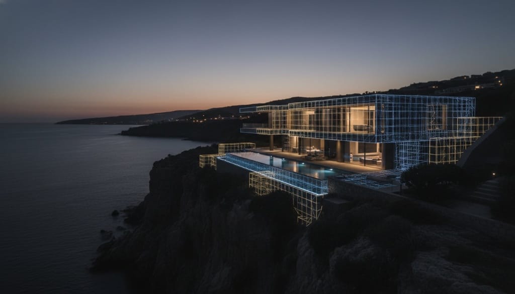
The digital twin is the pinnacle of spatial intelligence. It isn't a mere 3D model; it's a living digital asset that mirrors the physical world in real-time. A digital twin is a geo-accurate, interactive replica of a physical asset. This replica is created through photogrammetry, a sophisticated process that triangulates thousands of high-resolution aerial images to reconstruct geometry with startling realism. For the luxury sector, this data serves as an immutable architectural record. It allows for remote, inspection-grade analysis of high-value features, from intricate roof tiling to the health of exotic landscaping. It's a visionary tool that ensures the property is managed, marketed, and maintained with the same level of excellence that defined its construction.
The Architecture of High-Fidelity 3D Drone Mapping
Creating a digital twin is an exercise in technical orchestration. It's not merely about capturing images; it's about the precise synchronization of hardware, light, and mathematical geometry. While basic services might offer a rough approximation of a property, 3D drone mapping for luxury real estate requires a deeper level of architectural integrity. This process begins with high-resolution data acquisition using advanced UAV platforms. These aren't consumer-grade toys. They're sophisticated aerial laboratories equipped with high-resolution sensors designed to capture every nuance of a luxury asset.
The foundation of this clarity lies in the Ground Sampling Distance (GSD), a metric that determines the actual distance between the centers of two consecutive pixels on the ground. In the luxury sector, a sub-centimeter GSD is the non-negotiable standard, ensuring that even the texture of a hand-carved stone balustrade remains sharp and defined in the digital space.
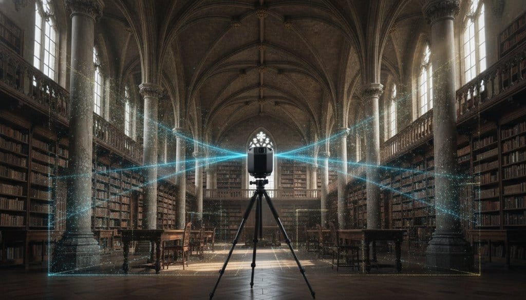
Photogrammetry serves as the artistic engine of this process. It triangulates thousands of overlapping aerial photographs to reconstruct the aesthetic soul of a property. It's how we capture the warmth of a sunset hitting a terra cotta roof or the specific shimmer of an infinity pool. However, visual data alone can be deceptive. To achieve true structural authority, we integrate LiDAR (Light Detection and Ranging). This technology emits rapid laser pulses to map the physical world with absolute precision. It's particularly vital for documenting complex estates with dense vegetation or intricate architectural layers.
Photogrammetry vs. LiDAR: Choosing the Right Tool
Photogrammetry is the champion of visual storytelling. It's the ideal choice for marketing high-end villas where the emotional impact of texture and color is paramount. LiDAR is the technical heavy-lifter. It's a necessity for superyacht documentation or estates where hidden topographical features must be identified beneath thick canopy cover. We don't choose between them; we fuse them. By combining the aesthetic richness of photogrammetry with the structural skeleton of LiDAR, we create a result that is both beautiful and mathematically perfect.
Point Clouds and Mesh Generation
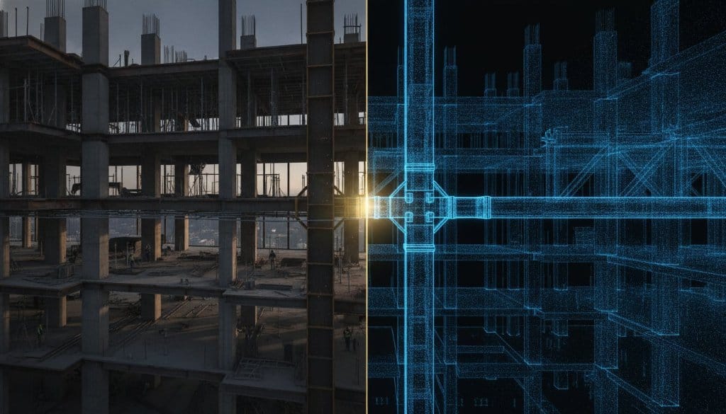
The journey from raw data to a finished digital twin involves transforming millions of individual data points into a seamless 3D mesh. Raw point clouds are impressive, but they lack the polish required for a luxury presentation. We convert these clouds into a high-density polygonal mesh, which is then draped with high-resolution textures captured during the flight. Post-production is where the "digital noise" is meticulously removed. We clean up artifacts, refine edges, and ensure the final model is a flawless reflection of the physical property. The result is a fluid, interactive environment that allows stakeholders to engage with the asset with zero friction.
Strategic Applications: Marketing, Inspection, and Operational Assets
A high-fidelity digital twin is not a single-purpose tool. It's a multi-dimensional business asset that serves distinctly different functions across the property lifecycle. Understanding these applications is key to maximizing the return on investment from a 3D drone mapping for luxury real estate engagement.
Immersive Marketing and Global Sales
The most immediate application is transforming the sales process. A prospective buyer in Singapore can conduct a thorough site inspection of a Côte d'Azur estate without boarding a plane. They can assess the gradient of the driveway, evaluate the privacy of the pool terrace from different vantage points, and understand the property's relationship with the surrounding landscape — all from a browser window. This capability dramatically expands the effective buyer pool for ultra-high-net-worth properties. It qualifies buyers before they visit in person, ensuring that physical site tours are reserved for serious, emotionally engaged prospects who have already formed a connection with the space.
Architectural and Construction Documentation
Beyond marketing, the digital twin serves as a permanent architectural record. For developers managing multi-phase construction projects, drone mapping provides accurate progress documentation at every stage. Structural changes, material deliveries, and phased completions are recorded with precision, creating an immutable audit trail. For existing luxury estates, this documentation serves as a baseline for future renovation work. Architects and contractors can take accurate measurements, identify potential issues, and plan interventions remotely, reducing on-site visits and accelerating project timelines.
Estate Management and Remote Inspection
Luxury estate management is inherently complex. High-value rooflines, extensive landscaping, and remote outbuildings present significant inspection challenges. Drone mapping solves this by creating an inspection-grade asset that can be interrogated remotely. Estate managers can monitor the condition of a slate roof, assess the health of mature trees, or inspect the perimeter fencing of a private island without deploying a physical team. This capability is transformative for internationally held assets where the owner and their management team may be geographically dispersed. It ensures consistent, documented oversight of assets regardless of physical location.
The 360INT Selection Framework: Resolution, LiDAR, and Integration
Not all drone mapping services are created equal. When evaluating a provider for a luxury real estate mandate, the selection criteria must be as rigorous as the property itself demands. We apply a three-pillar framework to every engagement: Resolution, LiDAR Integration, and Platform Compatibility.
Resolution as a Non-Negotiable Standard
For luxury real estate, visual resolution is a brand statement. A pixelated or visually degraded model communicates a lack of care that is antithetical to the premium positioning of the asset. We mandate a sub-centimeter Ground Sampling Distance for all luxury commissions. This ensures that fine architectural details — hand-laid mosaic tiles, ornate ironwork, custom stonework — are preserved with photographic fidelity in the digital environment. This level of detail is not just aesthetically important; it's commercially critical. It's the difference between a model that inspires confidence and one that creates doubt.
LiDAR Integration for Complex Assets
For properties with complex topography, dense vegetation, or significant architectural layering, LiDAR integration is not optional — it's essential. Pure photogrammetry cannot penetrate a dense forest canopy to reveal the terrain below. LiDAR can. For coastal estates, superyacht documentation, or hillside properties where the land itself is a central feature of the value proposition, LiDAR provides the structural foundation that photogrammetry alone cannot deliver. Our standard for complex assets is a hybrid capture workflow that leverages the visual richness of high-resolution photogrammetry alongside the structural precision of LiDAR point clouds.
Seamless Platform Integration
A digital twin that exists in isolation from your sales and marketing ecosystem delivers a fraction of its potential value. The model must be embeddable within your existing website infrastructure, compatible with your CRM for lead tracking, and structured to accommodate future interactive layers. We ensure that every deliverable is built on an open architecture that integrates with the major property portals, bespoke estate websites, and white-label client presentation platforms. This integration transforms a standalone asset into a dynamic node within your broader commercial network.
Elevating Luxury Real Estate with 360INT Digital Twins
The convergence of LiDAR precision, photogrammetric artistry, and interactive software layers has created a new standard for luxury real estate documentation. 3D drone mapping for luxury real estate is no longer an emerging technology — it's the expected baseline for any property that positions itself at the pinnacle of the market. The question is not whether to adopt spatial intelligence, but how to deploy it with the level of sophistication that your assets and your clients demand.
At 360INT, we bring together the technical expertise and the creative vision required to transform your portfolio into a collection of living digital assets. Our work is the intersection of engineering and artistry — precise enough to satisfy an architect's need for dimensional accuracy, and beautiful enough to move a global buyer to action. We don't just document properties. We create the definitive digital version of them.
The next generation of luxury real estate transactions will be won or lost in the digital space before a single physical viewing takes place. The properties that master spatial intelligence today will define the market tomorrow. The foundational infrastructure for that future is available now, and the competitive advantage it delivers grows with every day that your competitors remain anchored to flat, two-dimensional media.
Conclusion
The shift from standard aerial photography to high-fidelity spatial intelligence represents one of the most significant competitive differentiators available to the luxury real estate sector today. By creating inspection-grade digital twins through the fusion of photogrammetry and LiDAR, properties can expand their global buyer pool, accelerate sales cycles, and establish a permanent architectural record that serves the entire property lifecycle. 3D drone mapping for luxury real estate is the definitive tool for any portfolio that refuses to be defined by the limitations of a flat image. The properties that embrace it will not merely keep pace with the market — they will redefine it.