What if your aerial data did more than simply document a site, and instead began to actively sell it? For too long, the industry has settled for flat, uninspiring imagery that fails to capture the true essence of high-value assets. You understand the frustration of trying to communicate the grandeur of a luxury resort or the complexity of a large-scale development through static 2D maps that lack any sense of immersion. A high-fidelity 3d drone survey should be more than a passive record. It must be a living, breathing digital twin that bridges the gap between physical reality and strategic business outcomes.
We agree that inaccurate site data and a lack of visual depth create unnecessary friction in both sales and operations. In this guide, you'll discover how we evolve standard captures into interactive business platforms that provide a measurable return on investment. We will explore the intelligent Matterport ecosystem, where exterior drone precision meets interior sophistication. This is the transition from passive mapping to the next evolution of spatial data, utilized Matterport and enhanced by 360INT to create environments that qualify leads and streamline your most critical workflows.
Key Takeaways
- Learn why traditional aerial mapping is insufficient for high-value assets and how to transition toward active spatial intelligence that serves both operations and marketing.
- Understand the technical synergy between LiDAR and photogrammetry that powers a high-fidelity 3d drone survey, creating a robust foundation for intelligent business platforms.
- Discover how to bypass the "passive trap" by transforming static digital twins into interactive engagement platforms that drive measurable sales and lead qualification.
- Explore strategic use cases for luxury hospitality and MICE sales, where immersive venue visualization accelerates decision-making and streamlines complex event planning.
- Gain a clear roadmap for integrating drone-derived data with your existing digital ecosystem to create a unified, high-fidelity experience marketing platform.
Table of Contents
- Beyond Aerial Photography: The Rise of the Intelligent 3D Drone Survey
- The Science of Precision: LiDAR and Photogrammetry Upgraded for Business
- Passive Maps vs. Interactive Business Environments: The 360INT Evolution
- Strategic Applications: From MICE Venue Sales to Superyacht Maintenance
- Implementing Your 3D Experience Marketing Platform
Beyond Aerial Photography: The Rise of the Intelligent 3D Drone Survey
Standard aerial photography has reached its ceiling. It offers a view, but it lacks depth. In 2026, the industry has shifted away from mere observation toward total digital reconstruction. A 3d drone survey is no longer just a collection of high-altitude pixels. It's a high-fidelity digital twin of a physical asset. We don't provide maps. We build interactive business environments that serve as the foundational layer for global commerce. This is the 360INT philosophy: turning raw spatial data into a sophisticated sales platform that breathes life into static structures.
The era of the "Business-Ready" digital twin has arrived. While others are content with providing a bird's-eye view, we focus on the intelligence layered within the scan. By 2026, the standard for luxury hospitality and large-scale assets has evolved. Stakeholders no longer accept the "passive trap" of simple video tours. They demand a navigable, measurable, and intelligent asset that qualifies leads before a single foot touches the ground. This is the transition from utility to high-end hospitality, where technology anticipates the needs of the most discerning clients.
From Passive Visuals to Active Spatial Data
Standard aerial photos fail to capture the "soul" of a luxury asset. They are flat, detached, and ultimately forgettable. Data density is what creates a truly immersive digital environment. By capturing millions of data points, we move beyond the limitations of the camera lens. You don't just look at a map of a private island or a coastal resort. You experience the elevation, the texture, and the atmospheric scale of the space remotely. This is where The Science of Precision meets high-end storytelling. It's a fundamental shift from watching a screen to inhabiting a digital world.
Why Standard 2D Mapping Fails Luxury and Large-Scale Assets
Flat imagery is a liability in high-stakes transactions. It's insufficient. Remote investors can't gauge the spatial flow of a grand ballroom or the intricate deck layouts of a superyacht from a 2D plane. Inaccurate site data leads to operational friction and costly errors during the planning phases. A 3d drone survey provides the depth perception necessary for rapid, confident decision-making. We utilize Matterport as a foundational layer, but it's enhanced by 360INT to provide the intelligence and interaction that traditional systems lack. This is the next evolution of Matterport, specifically upgraded for business functionality and measurable ROI.
The Science of Precision: LiDAR and Photogrammetry Upgraded for Business
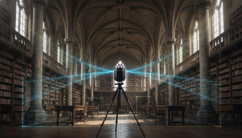
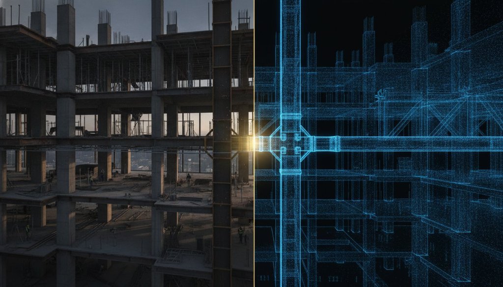
Precision is the silent engine of trust. In the world of high-value assets, a 3d drone survey must provide more than just a recognizable shape. It must deliver an absolute digital truth. We achieve this through the sophisticated synergy of LiDAR and photogrammetry. While standard services often treat these as competing technologies, we integrate them into a hybrid workflow. LiDAR provides the skeletal accuracy, while photogrammetry provides the sensory skin. The result is an asset that is as visually stunning as it is mathematically sound.
Raw data is merely noise until it's refined. Most providers stop at the point cloud, leaving you with a technical file that lacks business utility. We take a different path. Utilized Matterport. Enhanced by 360INT. We transform these raw captures into Intelligent Matterport experiences that serve as active business platforms. This isn't passive scanning. It's strategic spatial documentation designed to reduce operational friction and accelerate high-stakes decision-making for global enterprises. This approach ensures that your Strategic Applications are supported by data that is as reliable as it is immersive.
LiDAR Architectural Documentation: High-Fidelity for Complex Structures
LiDAR is the gold standard for complexity. It excels where traditional cameras fail, penetrating dense vegetation and capturing precise geometry in low-light environments. For superyacht maintenance and refits, this level of detail is non-negotiable. We provide inspection-grade assets that allow engineers to plan modifications without ever stepping on board. LiDAR delivers sub-centimeter accuracy, creating a rigid geometric foundation that is essential for the meticulous management of luxury assets. It's the difference between a rough estimate and an architectural certainty.
Photogrammetry and the Creation of Digital Twins
If LiDAR is the bone, photogrammetry is the soul. We convert thousands of high-resolution images into a seamless 3D textured mesh that captures the true aesthetic of a space. Color accuracy and texture density are vital for experience marketing. A potential buyer or MICE event planner needs to feel the light in a ballroom or the grain of the wood on a deck. We upgrade these twins into functional business environments by layering interactive commerce and booking tools directly onto the mesh. This transforms a visual walkthrough into a powerful engine for lead qualification. If you're ready to see how these intelligent twins can elevate your portfolio, you can explore a tailored solution for your next project.
Passive Maps vs. Interactive Business Environments: The 360INT Evolution
The industry is currently caught in the "Passive Trap." Most 3D tours are little more than digital curiosities; they allow a user to look around, but they don't allow them to do anything. This is a missed opportunity. A standard 3d drone survey often results in a beautiful but inert map. We see this as the beginning, not the end. The 360INT evolution transforms these static reconstructions into active business platforms that drive tangible commercial results. We don't just capture a space; we architect a digital world where interaction leads to conversion.
By layering intelligence onto spatial data, we move beyond the limitations of traditional panoramic systems. Our approach treats the digital twin as a commerce engine. Whether it's qualifying a high-net-worth buyer for a remote estate or enabling a global event planner to book a venue, the platform must be functional. We measure what matters: engagement depth, lead qualification speed, and operational efficiency. This is how we move spatial data from a marketing expense to a measurable business asset. It's the difference between a picture and a platform.
Layering Intelligence onto Spatial Scans
Standard scans are upgraded for business through proprietary interactive layers. We integrate live booking engines and custom storytelling overlays directly into the 3D environment, guiding the user journey with intent. It's about creating a seamless path from discovery to transaction. You can see how our immersive experiences enhance standard scans, turning a simple walkthrough into a sophisticated sales tool. This is the next evolution of Matterport, where the foundation is utilized Matterport and the intelligence is enhanced by 360INT.
Transforming Static Data into Measurable ROI
ROI isn't a vague concept; it's a calculation of saved time and increased conversion. For MICE sales, our interactive business environments allow for remote venue inspections that are so precise they eliminate the need for initial site visits. This significantly reduces the sales cycle for luxury hospitality. In real estate, AI-driven room recognition and project presentation tools accelerate buyer qualification. Beyond sales, these digital twins serve as operational tools for facility management. Using 3D data for maintenance planning ensures that large-scale assets are managed with the same precision with which they were captured. We don't just provide a view; we provide a vision of efficiency.
The Evolution of Spatial Data
From Passive 2D Maps to Intelligent Business Platforms that Drive Measurable ROI
1. The 'Passive Trap' of Traditional Aerial Data
Standard 2D imagery has reached its ceiling. It offers a view but lacks the depth and intelligence required for high-value assets, creating friction in sales and operations.
Flat & Uninspiring
Fails to capture the essence and grandeur of luxury assets, resulting in a detached, forgettable experience.
Causes Friction & Errors
Inaccurate site data and a lack of depth perception lead to costly mistakes and delays in planning phases.
No Business Intelligence
Functions as a passive record, not an active tool. It cannot qualify leads, enable sales, or streamline workflows.
2. The 360INT Evolution: Interactive Business Environments
We transform raw spatial data into sophisticated, intelligent platforms. This is the next evolution of Matterport, specifically upgraded for business functionality.
High-Fidelity Digital Twins
We create living, breathing digital assets that bridge the gap between physical reality and strategic outcomes. You don't just view a space—you experience it.
Utilized Matterport. Enhanced by 360INT.
3. The Science of Precision
We integrate LiDAR and Photogrammetry in a hybrid workflow. One provides skeletal accuracy, the other provides the sensory skin, resulting in an asset that is as visually stunning as it is mathematically sound.
LiDAR
The Skeletal Accuracy
- Gold standard for complexity
- Precise geometry in any light
- Penetrates dense vegetation
Photogrammetry
The Sensory Skin
- Stunning high-fidelity visuals
- Creates realistic textures
- Captures atmospheric scale
4. Strategic Applications & Business Outcomes
Our intelligent platforms are purpose-built to create tangible business value across high-stakes industries.
Luxury Hospitality & MICE Sales
Accelerate B2B sales cycles by allowing event planners to remotely visualize and configure complex ballroom and venue spaces, streamlining decision-making.
Superyacht Maintenance
Provide non-negotiable detail for maintenance and refits. High-fidelity documentation ensures precision for engineers and reduces costly on-site errors.
Large-Scale Development
Qualify remote investors and high-net-worth buyers faster by presenting development projects with complete, accurate, and immersive spatial context.
Transforming Physical Spaces into Powerful Sales, Engagement, and Business Platforms
360-int.com
Strategic Applications: From MICE Venue Sales to Superyacht Maintenance
Most drone service providers operate in the utilitarian world of mining and earthworks. They focus on volume calculations and site monitoring for construction. We operate in a different sphere. For 360INT, a 3d drone survey is a high-fidelity instrument designed for the world's most sophisticated assets. We don't just measure terrain; we document the soul of luxury resorts and the intricate engineering of superyachts. This is spatial data repurposed as a visionary sales and operational tool, moving beyond the "passive map" into the realm of intelligent business environments.
The transition from utility to experience is where true ROI is found. By 2026, the standard for managing high-value portfolios has shifted toward the digital twin. This permanent digital record serves as a single source of truth for marketing, insurance, and maintenance. Whether you are managing a global hospitality brand or a private estate, the ability to navigate a space remotely with millimeter precision changes the nature of your business. It's about confidence. It's about clarity. It's about using technology to anticipate the needs of stakeholders before they even ask.
Revolutionizing MICE and Large-Scale Event Planning
The MICE sector thrives on precision and speed. Traditionally, event planners have been tethered to physical site visits and static floor plans that fail to communicate the true scale of a venue. We replace this friction with interactive business environments. Planners can now measure ballrooms, visualize stage placements, and plan complex logistics for festivals remotely. This reduces site visit costs and accelerates the booking cycle for luxury hotels. You can explore our drone scanning services to see how we transform event venues into high-performance sales platforms.
High-Resolution Documentation for Superyachts and Luxury Estates
Marine engineering and luxury estate management demand a level of detail that standard photography cannot provide. We create "as-built" documentation that serves as a foundational asset for superyacht refits and hull inspections. LiDAR mapping eliminates the margin for human error by generating a millimeter-accurate point cloud that serves as the definitive source of truth for every structural curve and mechanical clearance on a vessel. These scans are utilized Matterport, enhanced by 360INT to include maintenance history and valuation data. For luxury estates, this creates a permanent architectural record that is invaluable for preservation and future development.
Implementing Your 3D Experience Marketing Platform
The 360INT roadmap begins where traditional services end. Most providers view the delivery of a data file as the conclusion of their contract. We view it as the birth of a strategic asset. Implementing a 3d drone survey in 2026 requires more than a pilot; it requires a visionary architect who understands the nuances of luxury brand standards. Our process moves methodically from high-fidelity site capture to the deployment of an integrated business tool. We don't just hand over a map. We launch a platform designed to evolve alongside your commercial goals.
Choosing the right partner is a decision rooted in trust and technical authority. In a market saturated with passive panoramic systems, the distinction lies in the layering of intelligence. By 2026, the future of spatial data has arrived in the form of AI-driven object recognition and autonomous updates. These systems don't just sit on a server. They actively identify assets, track changes over time, and provide real-time insights into your physical environment. This is the 360INT difference: we provide the seasoned guidance needed to navigate this new digital frontier.
Integrating Drone Data with Matterport Ecosystems
A truly holistic experience requires the removal of digital borders. We specialize in merging aerial precision with interior sophistication, creating a seamless transition from the sky to the showroom floor. This is the next evolution of Matterport. Utilized Matterport. Enhanced by 360INT. By anchoring your interior digital twin within a high-fidelity 3d drone survey, you provide stakeholders with a complete spatial context that static imagery cannot match. Our virtual tours serve as the bridge between these worlds, turning a fragmented viewing experience into a unified engagement platform.
The Path to Immersive Operational Efficiency
Intelligence creates efficiency. Beyond the immediate impact on sales and marketing, these digital twins reduce operational friction by enabling remote site management on a global scale. In 2026, the role of 3D surveys has expanded into the realm of ESG reporting and sustainability planning. Accurate spatial data allows for precise energy modeling and waste reduction during refits or renovations. It's about more than just a visual walkthrough; it's about building a sustainable, data-driven future for your most valuable assets. Transformation is not a passive event. It's a strategic choice to upgrade your business for the modern era.
Data with purpose. Intelligence with soul. Contact 360INT to begin the transformation of your physical space into a powerful sales and business platform.
Visionary Spatial Intelligence for the Next Frontier
Passive maps are a relic of the past. Intelligent platforms are the future. You've seen how a high-fidelity 3d drone survey evolves from a static data set into a visionary sales and operational platform. By layering proprietary interactive software onto raw spatial captures, we've moved beyond the "passive trap" to create digital twins that qualify leads, accelerate MICE bookings, and streamline superyacht maintenance with millimeter precision. This is the transition from mere utility to high-end hospitality, where technology anticipates every stakeholder need.
360INT brings over a decade of experience marketing expertise to the most sophisticated sectors of the global market. We don't just provide scans; we architect spatial experiences upgraded for business. Utilizing Matterport as our foundation and enhancing it with our proprietary technology, we ensure your high-value assets are positioned for maximum ROI and absolute operational clarity. It's time to stop looking at maps and start inhabiting digital twins that work for your bottom line.
The era of the business-ready digital twin has arrived. We're ready to help you lead the way into the next evolution of spatial data.
Frequently Asked Questions
What is the difference between a 3D drone survey and a 360 virtual tour?
A 3D drone survey is a high-fidelity geometric reconstruction of a physical space, whereas a traditional 360 virtual tour is often just a series of passive panoramic images. While standard tours offer a limited visual walkthrough, our surveys create a comprehensive digital twin with measurable depth. This allows for precise architectural planning and the layering of intelligent business tools that traditional panoramic systems simply cannot support.
How accurate is a LiDAR drone survey for architectural documentation?
LiDAR technology provides sub-centimeter accuracy, making it the definitive choice for complex architectural documentation. It uses light pulses to measure distances with extreme precision, even in low-light or high-vegetation environments where traditional cameras struggle. This level of detail is essential for the "as-built" records required during superyacht refits or the management of intricate luxury estates.
Can 3D drone mapping be integrated with Matterport digital twins?
Yes, we specialize in creating a seamless transition from the sky to the showroom floor by merging exterior drone data with interior walkthroughs. This is the next evolution of Matterport. Utilized Matterport. Enhanced by 360INT. These integrated environments provide a holistic spatial understanding that serves as a powerful experience marketing platform for global brands.
What industries benefit most from high-fidelity 3D drone surveys?
Luxury hospitality, superyacht management, and large-scale real estate developers find the most value in these intelligent assets. For hospitality, the focus is on MICE sales and venue visualization. In the marine sector, the technology is used for hull inspections and maintenance history. Retailers also utilize these platforms for interactive commerce and guided purchasing journeys within their showrooms.
How long does it take to process a 3D drone survey for a large resort?
Processing times vary based on the complexity and acreage of the site, though raw data is typically ready for refinement within 48 to 72 hours. The creation of a fully Intelligent Matterport experience takes longer, as we layer in proprietary business functionality and interactive storytelling elements. We focus on delivering a polished, high-fidelity asset rather than rushing a low-quality file.
Is a 3D drone survey useful for superyacht maintenance and refits?
A 3d drone survey is an invaluable tool for marine engineers, providing a millimeter-accurate record of a vessel's hull and deck layouts. This documentation serves as a single source of truth for insurance valuations, refit planning, and long-term maintenance history. It allows teams to plan complex modifications remotely, significantly reducing the downtime associated with physical inspections.
How does 360INT transform raw drone data into a sales tool?
We transform raw spatial data into an active sales tool by applying proprietary interactive layers that drive measurable ROI. Instead of a passive map, we build an engagement platform featuring live booking engines, product recognition, and custom storytelling overlays. This approach qualifies leads more effectively by allowing potential buyers to interact with the space in a meaningful, commerce-driven way.
What are the costs associated with professional 3D drone mapping?
Industry costs for a 3d drone survey are influenced by the choice between photogrammetry and LiDAR sensors. Verified market data from 2026 shows that standard photogrammetry typically ranges from $150 to $300 per acre, while LiDAR surveys command a premium due to their sub-centimeter precision. These rates reflect the technical expertise and hardware required to produce high-fidelity, survey-grade results for luxury and industrial assets.