What if the most expensive error on your job site has already been buried behind a concrete pour, invisible to the naked eye but destined to trigger a six-figure rework? It's a haunting reality for developers who recognize that nearly 30% of project data is lost by closeout, often leading to expensive deviations. You've likely felt the frustration of trying to bridge the gap between technical site status and the high-level reporting required by remote investors. Relying on static photos is no longer enough. To maintain a competitive edge, you must deploy a sophisticated 3D model for construction progress monitoring that acts as a living, breathing source of truth. Utilized Matterport and enhanced by 360INT Experience Studio, these intelligent digital twins transform raw spatial data into high-fidelity business assets that ensure every beam and conduit aligns with your vision.
We'll show you how to move beyond passive documentation to achieve real-time site awareness and automated deviation detection. You'll discover how to accelerate delivery timelines and provide stakeholders with immersive, interactive environments that prove progress with absolute precision. It's time to stop just watching your site and start mastering it through the next evolution of spatial intelligence.
Key Takeaways
- Stop settling for static documentation. Learn how a 3D model for construction progress monitoring evolves from a simple visual record into a dynamic, interactive digital twin that drives site-wide accountability.
- Precision meets perspective. Discover how the integration of Matterport and drone-based LiDAR mapping provides the high-fidelity data needed for rigorous technical inspections and structural verification.
- Secure the "Golden Thread." See how real-time deviation detection between as-built reality and as-designed BIM models prevents expensive rework and keeps complex projects on schedule.
- Monetize the progress. Understand how to transform site data into powerful experience marketing platforms that facilitate faster decision-making for investors and high-end commercial tenants.
- The 360INT evolution. Explore a methodology that moves beyond hardware, layering proprietary intelligence onto spatial data to create measurable business assets upgraded for global enterprises.
Table of Contents
- Beyond Passive Scanning: Why Standard Construction Documentation Fails
- The Anatomy of an Intelligent 3D Construction Model
- As-Built vs. As-Designed: Precision Monitoring and Rework Prevention
- Operationalizing Spatial Data: From Inspection to Stakeholder Engagement
- Upgraded for Business: Transforming Construction Sites with 360INT
Beyond Passive Scanning: Why Standard Construction Documentation Fails
Traditional construction monitoring is fundamentally broken. For decades, the industry has relied on 2D photography and basic 360-degree panoramas to track site progress. These tools are inherently passive. They capture a moment in time but lack the intelligence to predict a looming crisis. This is the "Passive Documentation Trap." Static images don't speak to your BIM model. They don't detect a two-inch deviation in a structural column before the drywall goes up. When data is fragmented, the very soul of the project is lost. You're left with a collection of files, not a cohesive strategy.
A high-fidelity 3D model for construction progress monitoring isn't just a visual record. It's a dynamic, interactive digital twin that bridges the gap between the site office and the boardroom. Large-scale projects frequently face delays because of a breakdown in project management where site reality and design intent drift apart. We don't just capture a space; we engineer an operational environment. Every data point becomes measurable. Every discrepancy becomes an opportunity for correction rather than a cause for rework. This is the transition from merely observing to truly mastering your environment.
The Reality of Data Loss in 2026
Industry data indicates that a significant portion of design data is lost by the time a project reaches closeout. Traditional site records become obsolete almost instantly because they lack spatial context and depth. These information gaps create a costly ripple effect that haunts facility management and future renovations for years. The Intelligent Digital Twin is the 2026 industry standard for synchronizing physical site progress with digital design intent in a single, high-fidelity source of truth. It's a commitment to transparency that ensures your project's intelligence survives long after the contractors have left.
From Visual Tours to Strategic Assets
Basic virtual walkthroughs are insufficient for high-stakes construction environments. They are aesthetic, not analytical. 360INT Experience Studio moves the narrative beyond mere utility into a sphere of strategic spatial intelligence. We apply a "Utilized Matterport. Enhanced by 360INT Experience Studio" philosophy to layer business functionality onto physical forms. By transforming simple scans into interactive business environments, we serve as the visionary architects of your digital world. This is the next evolution of Matterport. It ensures your site data functions as a high-fidelity business asset that drives ROI and accelerates delivery.
The Anatomy of an Intelligent 3D Construction Model
An intelligent 3D model for construction progress monitoring is more than a visual facade. It's a layered synthesis of high-fidelity imagery and survey-grade precision. While many providers offer a window into the site, we provide the blueprints for operational success. Data is the new steel. By layering proprietary intelligence onto raw point clouds, 360INT Experience Studio transforms a skeletal structure into a vibrant, navigable business environment that speaks the language of both the architect and the investor. This is not a passive record; it's a proactive engine for project delivery.
Matterport Enhanced by 360INT Experience Studio
We utilize Matterport as a foundational layer, but our methodology represents the next evolution of Matterport. A standard scan is a snapshot. An intelligent Matterport experience is a functional business tool. 360INT Experience Studio evolves the digital twin by embedding interaction, strategic branding, and deep-link functionality that allows site managers to pin technical specifications directly onto physical forms. This elevates the experience from a simple walkthrough to a high-end engagement platform, ensuring that every stakeholder possesses total spatial awareness.
LiDAR and Drone Mapping Integration
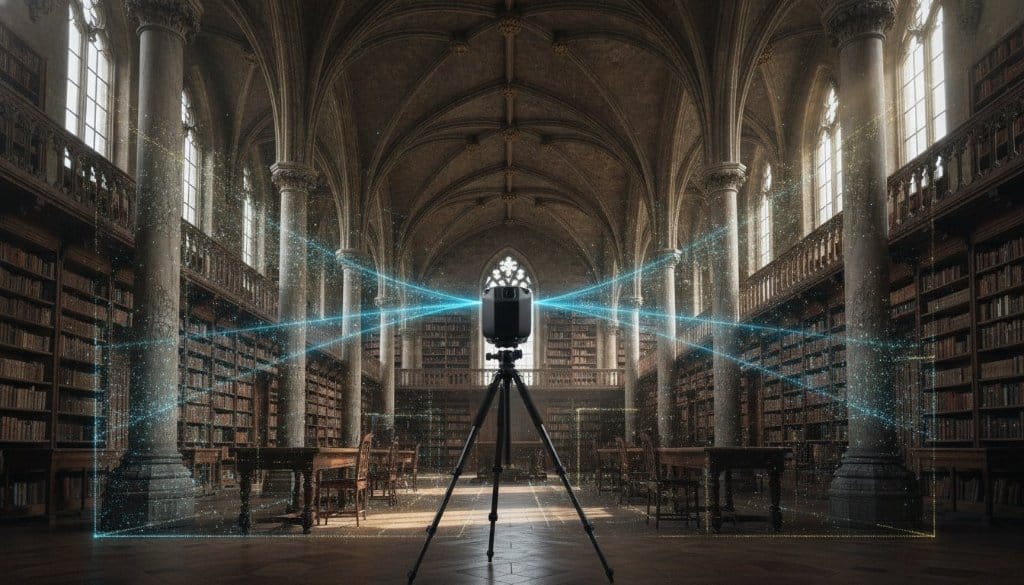
The transition from visual context to technical truth requires more than just a camera. We integrate aerial LiDAR and drone mapping to capture the macro-scale complexities of large-scale grounds and complex structures. This synergy between ground-based scanning and high-altitude data capture creates a seamless source of truth. It allows for the creation of 3D Engineered Models that satisfy the rigorous demands of civil engineering and infrastructure project management. By combining these technologies, we eliminate the blind spots that lead to schedule delays in traditional workflows.
Our approach transforms raw spatial data into a holistic environment. We don't just deliver point clouds; we deliver branded business platforms that serve as the "soul" of the construction site. These environments are interactive, measurable, and designed to move the needle on commercial outcomes. Whether you're qualifying buyers for a luxury high-rise or coordinating a global logistics hub, the intelligence 360INT Experience Studio layers onto the physical form ensures a seamless journey from groundbreaking to handover. If you're ready to see how these layers integrate into your specific workflow, you can request a technical consultation and quote to explore your project's digital potential.
Precision engineering meets visionary storytelling. By integrating Drone Scans and LiDAR Mapping with high-fidelity interior twins, we provide an unbroken narrative of progress. This dual-layered approach ensures that accuracy is never sacrificed for aesthetics. Instead, they coexist, providing a high-fidelity business asset that eliminates the uncertainty of remote project management.
As-Built vs. As-Designed: Precision Monitoring and Rework Prevention
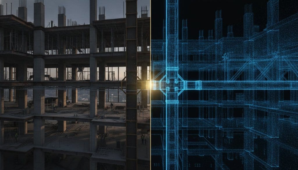
Errors are expensive. A single misaligned structural beam or a misplaced conduit shouldn't wait for a manual inspection to be discovered. Traditional project management often relies on subjective site reports that lack technical depth and precision. In contrast, a high-fidelity 3D model for construction progress monitoring creates an objective, unalterable record of reality. By maintaining the "Golden Thread" between architectural intent and site execution, we ensure that every square inch of the project remains under total control. This is the difference between reacting to a crisis and engineering its absence.
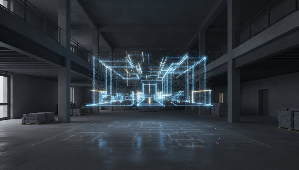
This level of precision is about more than just visibility. It's about proactive engineering. Utilizing Matterport and enhanced by 360INT, our digital twins allow for the seamless integration of Building Information Modeling (BIM) data directly into the visual environment. This allows site managers to overlay design plans against the as-built reality in real-time. When you're building a 3D construction progress dashboard, you transform raw point clouds into actionable intelligence. This workflow is proven to result in an 8% to 15% cost savings and a staggering 40% reduction in rework, according to verified industry research.
BIM Integration and Spatial Accuracy
Modern construction standards in 2026 demand inspection-grade assets that bridge the gap between the field and the design office. We don't just provide a view; we provide a technical overlay. By utilizing Drone Scans and LiDAR Mapping, we achieve the accuracy required to spot discrepancies instantly. This spatial context streamlines the Request for Information (RFI) process. It allows remote engineers to troubleshoot site issues with immersive context, ensuring that the "soul" of the design is never compromised by field errors.
Operational Efficiency and ROI
The value of an intelligent digital twin is measured in hours saved and errors avoided. Immersive operational tools reduce the necessity for physical site visits, which can accelerate decision-making cycles and lead to a 25% improvement in schedule adherence. We transform raw data into measurable business outcomes. This is the next evolution of Matterport. It moves away from aesthetic walkthroughs toward a rigorous, data-driven methodology that protects your margins and guarantees project fidelity from groundbreaking to closeout.
Operationalizing Spatial Data: From Inspection to Stakeholder Engagement
Data alone is a commodity. Intelligence is the differentiator. While the site office uses a 3D model for construction progress monitoring to catch technical deviations, the boardroom uses it to secure the project's future. We move beyond the technical "how" to the commercial "why." By transforming a raw construction site into a measurable business asset, we provide a sense of presence that static reporting simply can't replicate. It's about giving a global investor the absolute confidence of a physical walkthrough without the transatlantic flight. This is the layering of soul onto data.
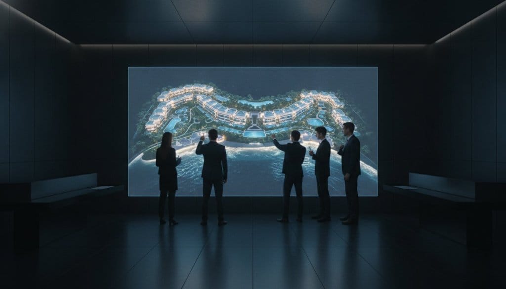
The utility of these digital twins extends far beyond the perimeter of the job site. In the high-stakes world of hospitality and commercial development, time is the ultimate currency. We enable venue visualization for MICE sales and ballroom planning while the actual structure is still in its skeletal phase. This proactive approach allows sales teams to secure bookings and event contracts months before the grand opening. It's a shift from passive waiting to active revenue generation, powered by high-fidelity spatial intelligence.
High-Fidelity Reporting for Executives
Standard PDF reports are where critical data goes to die. They're flat, uninspired, and often obsolete by the time they hit an inbox. We replace these artifacts with immersive, interactive progress updates that allow executives to peel back the layers of their investment. This is the 360INT "contrast and elevate" approach to communication. We don't just show progress; we provide strategic context. These environments also serve as vital operational tools for HR onboarding and project safety training, ensuring every team member understands the site's complexities before they ever set foot on the dirt.
Sales and Marketing Enablement
For developers, the construction phase is a critical window for pre-sales and securing additional funding. An intelligent digital twin acts as a high-end experience marketing platform that qualifies buyers with surgical precision. By integrating Immersive Experiences Custom Tech, we allow potential tenants to explore retail footprints or interact with live booking engines embedded directly into the 3D space. This isn't a virtual tour. It's a functional commerce platform that accelerates the buyer's journey and proves the project's value through immersive storytelling.
The transition from a construction site to a finished asset is a journey of precision and vision. We ensure that every step of that journey is documented with high-fidelity accuracy and strategic purpose. If you're ready to transform your site data into a powerful engagement platform that drives ROI, request a tailored strategy and quote today to see how we can elevate your project's digital presence.
Upgraded for Business: Transforming Construction Sites with 360INT
Construction isn't just about building structures. It's about building certainty. While the industry has historically accepted fragmented data as a cost of doing business, the 2026 landscape demands a more sophisticated approach. A high-fidelity 3D model for construction progress monitoring is no longer a luxury for the few. It's a fundamental requirement for the many. We don't just provide a view of the site; we provide a vision for its successful completion. By moving beyond hardware and focusing on holistic experiences, 360INT serves as a strategic partner that brings a sense of purpose to your data-driven environment.
Why Traditional Virtual Tours Fall Short
Most panoramic systems are passive. They offer limited business functionality and often feel like hollow visual shells. We contrast these basic industry standards against our own integrated solutions, which represent a necessary evolution. A standard provider captures a space. 360INT architects a digital world. We don't just create virtual walkthroughs; we build interactive business environments that serve as experience sales tools and operational platforms. This distinction is critical for global enterprises that require more than just aesthetic documentation. They need a narrative of transformation that connects physical forms to commercial outcomes.
The 360INT Methodology: Strategy and Interaction
Our approach is rooted in three pillars: Strategy, Interaction, and Business Functionality. Utilized Matterport and enhanced by 360INT, our methodology ensures that every scan is "upgraded for business." We are already looking toward the next evolution, integrating AI-driven object recognition and predictive monitoring to identify potential issues before they manifest. Digital transformation in construction can lead to productivity gains of 14% to 15%. By layering intelligence onto the 3D model for construction progress monitoring, we help you capture those gains while maintaining a firm grip on your project’s "soul" and technical integrity.
Your Path to a 3D Site Strategy
Transitioning to an intelligent monitoring workflow is a journey of precision. It begins with a commitment to service and a deep understanding of your project’s unique nuances. Whether you're managing a global logistics hub or a luxury high-rise, our technical authority ensures a seamless integration of spatial data into your existing online visibility strategy. We act as your seasoned guide, using technology as a tool for storytelling and emotional connection with stakeholders. It's time to move beyond utility and into the realm of high-end digital maturity. You can elevate your project documentation and request a technical quote today to begin your transformation.
Mastering the Digital Frontier of Construction
The era of static, fragmented site documentation has ended. You've seen how a sophisticated 3D model for construction progress monitoring transforms from a simple visual record into a high-fidelity engine for project delivery. By bridging the gap between as-built reality and architectural intent, we don't just identify deviations; we eliminate the financial weight of rework. This is the next evolution of Matterport. Here, spatial data becomes a measurable business asset capable of driving MICE sales and securing investor confidence long before the ribbon-cutting ceremony.
Headquartered in Phuket and serving global retail and luxury hospitality brands, 360INT brings a visionary perspective to every digital twin. We layer proprietary intelligence and operational planning tools onto physical forms, ensuring your project is upgraded for business. It's time to move beyond utility and embrace a holistic strategy that protects your margins and tells your project's story with absolute precision. Your site is more than a collection of data. It's a living narrative of transformation.
Transform your construction site into an intelligent business asset with 360INT
Frequently Asked Questions
How often should a construction site be scanned for 3D progress monitoring?
Optimal scan frequency is dictated by your project's velocity, though weekly captures are the industry standard for high-fidelity monitoring. During critical phases like structural framing or MEP installation, daily scans ensure no detail is lost before being concealed by drywall or concrete. This consistent cadence transforms a static record into a living history, providing the technical depth required to manage complex global developments with absolute certainty and transparency.
Can 3D models be integrated with existing BIM software like Revit or AutoCAD?
Yes, our intelligent digital twins integrate seamlessly with industry standard BIM software through high-precision point cloud data and E57 files. We move beyond simple visuals by providing the technical assets that allow architects to overlay as-built reality against as-designed models. This technical synergy eliminates the friction between the design office and the field, ensuring that your digital world remains perfectly synchronized with physical progress throughout the project lifecycle.
What is the difference between a standard virtual tour and an intelligent digital twin?
A standard virtual tour is a passive, aesthetic walkthrough with limited utility, while an intelligent digital twin is a data-driven business asset upgraded for operational success. 360INT utilizes Matterport as a foundation but enhances it with proprietary interactive layers and strategic business functionality. These engagement platforms allow for real-time site awareness and automated deviation detection, moving the narrative away from mere photography and into the realm of strategic spatial intelligence.
How does LiDAR improve the accuracy of construction 3D models?
LiDAR technology provides millimeter level precision by using laser pulses to map complex structures and large-scale environments with surgical accuracy. While standard photogrammetry captures visual context, LiDAR creates a high-fidelity 3D model for construction progress monitoring that is resilient to lighting variations and structural complexity. This ensures that your technical inspections are backed by survey-grade data, providing a firm grip on business results and structural integrity at every stage.
Is 3D monitoring suitable for large-scale infrastructure and event grounds?
3D monitoring is essential for large-scale infrastructure and expansive event grounds where traditional manual inspections are insufficient or too slow. We utilize aerial LiDAR and drone 3D scans to capture macro-level data across vast terrains, ensuring total spatial awareness for the most complex global projects. These interactive business environments provide a single source of truth for logistics, safety planning, and stakeholder reporting across massive geographic footprints that require high-fidelity oversight.
How does 3D progress monitoring help in reducing construction rework costs?
Digital twins reduce rework costs by identifying structural deviations and MEP clashes before they become permanent, expensive liabilities buried behind finishes. Verified industry research indicates that 3D laser scanning can lead to an 8% to 15% cost savings and a 40% reduction in rework. By maintaining an unbroken link between the site and the design intent, we ensure that errors are caught in the digital phase rather than the demolition phase, protecting your margins.
Can stakeholders access the 3D construction model remotely without special software?
Stakeholders can access the digital twin from any global location using a standard web browser, requiring no specialized software or high-end hardware. This seamless accessibility allows remote investors and executive teams to experience a project's "soul" and progress with total immersion. Our platforms are designed for high-end hospitality and global enterprise needs, ensuring that complex site data is presented through a polished, intuitive interface that facilitates faster decision-making and project confidence.