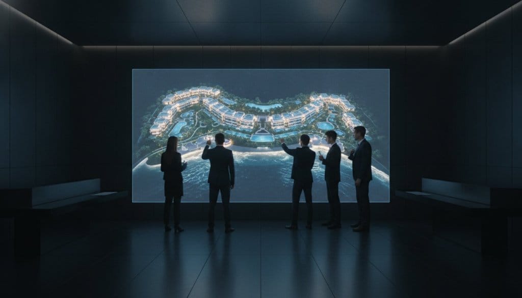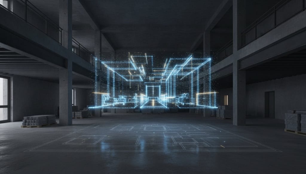
A blueprint is no longer a sufficient foundation for luxury enterprise. For years, the industry has settled for passive snapshots and manual measurements that invite human error, often contributing to the 48% of construction rework caused by poor project data. LiDAR architectural documentation changes the equation. It's not just a survey. It is the birth of a high-fidelity digital twin. While others offer static imagery, we provide the intelligence and strategy built on top of the world's most advanced reality capture technology. We don't just capture space; we layer it with purpose.
You recognize that precision is the prerequisite for profit, yet communicating complex layouts to remote stakeholders remains a constant friction point. This guide reveals how to move beyond basic scanning into the next evolution of Matterport, upgraded for business. Discover how millimetre-accurate data transforms into an interactive business platform, driving ROI through remote inspection-grade assets and sophisticated MICE sales tools. We're moving from static data to an operational ecosystem that works as hard as you do. By integrating these intelligent environments, you eliminate the need for redundant site visits and empower your team with a functional platform for seamless planning and qualified lead generation.
Key Takeaways
- Understand why traditional manual measurements are insufficient and how LiDAR architectural documentation provides the millimetre-accurate foundation required for high-stakes luxury projects.
- Learn how raw spatial data evolves into intelligent digital twins that integrate with BIM workflows to reduce construction rework and operational friction.
- Explore high-impact applications for superyacht refits and MICE venue sales where precision mapping accelerates remote stakeholder approval.
- Discover the shift from passive walkthroughs to interactive business environments that prioritize lead qualification and measurable sales enablement.
- Follow a structured strategic roadmap to transform physical spaces into high-performance digital assets that serve your specific commercial objectives.
Table of Contents
- Beyond the Blueprint: Defining LiDAR Architectural Documentation
- The Anatomy of Accuracy: How LiDAR Scans Become Intelligent Assets
- Strategic Applications: LiDAR for Superyachts, Luxury Hospitality, and MICE
- Passive Scans vs. Interactive Platforms: The Evolution of Documentation
- Implementing LiDAR Documentation: Your Strategic Roadmap
Beyond the Blueprint: Defining LiDAR Architectural Documentation
The traditional blueprint is a frozen moment in time. It's a static representation of what was intended, not what actually exists. In 2026, relying on manual measurements or passive photography isn't just risky; it's a liability. Modern LiDAR architectural documentation replaces these approximations with a living, breathing digital infrastructure. By utilizing What is LiDAR? (Light Detection and Ranging), we capture millions of laser-pulsed data points to create a high-fidelity replica of physical reality. This isn't a mere visual aid. It's a strategic asset designed to eliminate the guesswork that leads to nearly half of all construction rework.
Industry standards have evolved. The "Golden Thread" of building data now demands a continuous, verifiable digital record from design through to operation. With over 72% of AECO organizations now scaling their use of reality capture, the question isn't whether you need a digital twin, but how much intelligence you choose to embed within it. We move beyond the 2D floor plan to provide a functional platform for commerce and coordination.
The Shift from Measurement to Management
Luxury brands can't afford the limitations of passive 360 photos. Those systems offer a view, but they don't offer a vision. They lack the spatial depth required for true operational planning. We transform these spaces into interactive business environments where data is actionable. This evolution ensures that every department, from facilities management to marketing, works from the same accurate data set.
- Establish a reliable "Single Source of Truth" for all global stakeholders.
- Reduce operational friction through remote, high-fidelity site inspections.
- Empower MICE sales teams with functional platforms for venue visualization.
Millimetre Precision: The New Industry Standard
Precision is the language of high-end hospitality and maritime sectors. For a superyacht refit or a sprawling luxury showroom, a three-centimetre error is the difference between a seamless installation and a multi-million dollar delay. We provide inspection-grade assets that allow global brands to verify site conditions without stepping foot on the property. LiDAR is the laser-pulsed heartbeat of modern spatial intelligence. Through our Drone 3D Scans & LiDAR Mapping, we capture complex geometries that traditional photogrammetry simply misses. This level of detail ensures that your digital twin isn't just a pretty picture; it's an intelligent business platform upgraded for the demands of 2026.
The Anatomy of Accuracy: How LiDAR Scans Become Intelligent Assets
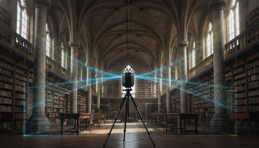
Raw data is just noise without a strategic framework. The process of LiDAR architectural documentation begins with millions of light pulses reflecting off physical surfaces, returning to the sensor to calculate distance with surgical precision. This creates a point cloud, a dense 3D coordinate system that captures every nuance of a space. While basic photogrammetry relies on visual overlap, LiDAR achieves an accuracy of ±3mm across an entire structure. This level of fidelity is essential for LiDAR for historic preservation and complex modern builds where every millimetre counts.
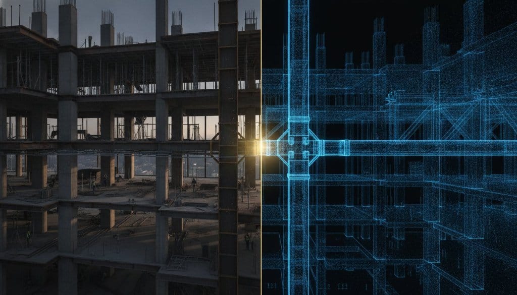
The journey doesn't end with a point cloud. We integrate this data into Building Information Modelling (BIM) workflows, creating a digital twin that serves as a living operational tool. In 2026, the scan-to-BIM process is a technical symphony; roughly 30% of the effort is dedicated to field capture, while 70% focuses on the sophisticated BIM modelling that powers your business intelligence. This structured data allows for automated feature extraction, turning raw points into walls, pipes, and structural elements that your team can actually use for planning and remote maintenance.
UAV and Drone-Based LiDAR Mapping
Large-scale environments require a higher perspective. For luxury resorts and expansive event grounds, terrestrial scanning isn't enough. We utilize drone scanning services to map complex geometries from the air, capturing topographies that remain hidden from the ground. This aerial data provides a comprehensive view of the property, ensuring that your digital twin includes everything from roof conditions to surrounding terrain. It's the difference between a partial scan and a holistic spatial asset.
The 360INT Enhancement: Upgrading the Twin
Standard scans are passive. We offer the evolution. While we utilize Matterport as a foundational technology, it's enhanced by 360INT to become an intelligent business platform. We don't just provide a walkthrough; we deliver an experience marketing platform. By layering proprietary intelligence onto raw spatial data, we transform static documentation into an active tool for lead qualification and sales enablement. It's Matterport, but upgraded for business. If you're ready to see how these intelligent Matterport experiences can redefine your operations, you can explore a tailored strategy for your brand.
Strategic Applications: LiDAR for Superyachts, Luxury Hospitality, and MICE
Precision isn't a luxury; it's the currency of the elite. In sectors where a single centimetre determines the success of a multi-million dollar installation, LiDAR architectural documentation serves as the ultimate safeguard. While traditional documentation methods often fail to capture the complex, irregular geometries of high-end assets, our intelligent digital twins provide a comprehensive spatial record. We move beyond the limitations of passive imagery to create interactive business environments that allow stakeholders to navigate, measure, and manage their assets from anywhere in the world.
This technology is particularly vital for historical preservation within the luxury sector. Documenting heritage assets requires a level of detail that manual surveying can't match. By utilizing Matterport as a foundation and enhancing it with 360INT intelligence, we create a "digital soul" for historic structures. This ensures that every intricate molding and structural nuance is preserved for future reconstruction or maintenance, meeting the highest international standards for conservation documentation.
MICE Sales and Venue Visualisation
The global events industry moves at a pace that doesn't always allow for physical site inspections. International event planners need more than a gallery of photos; they need a functional platform for operational planning. Our intelligent Matterport experiences empower MICE sales teams by providing millimetre-accurate venue visualisations. This allows planners to verify stage placements, ballroom capacities, and AV layouts remotely. By reducing the need for repeated site visits, luxury hotels can accelerate the decision-making process for high-value bookings, directly impacting their bottom line.
Superyacht Digital Twins: Operational Excellence
Managing a superyacht is an exercise in extreme precision. When a vessel is undergoing a refit or scheduled maintenance, the cost of a single change order can range between $15,000 and $300,000 depending on the complexity. LiDAR architectural documentation mitigates this risk by providing as-built CAD plans for engine rooms and luxury cabins. These digital twins allow global maintenance teams to coordinate refits with absolute certainty. Beyond maintenance, these assets serve as critical tools for insurance and disaster recovery. They provide a verifiable record of the vessel’s condition, utilized for everything from crew training to remote technical support. This is the next evolution of Matterport, upgraded for the specific, high-stakes demands of the maritime world. If you want to see how these tools integrate into your existing workflow, you can explore our experience sales tools designed for the luxury market.
Luxury Retail and Interactive Commerce
In the world of high-end retail, the digital twin is a bridge to commerce. We transform static showrooms into experience marketing platforms where every product is recognized and interactive. These environments don't just show a space; they enable guided purchasing journeys and seamless e-commerce integration. By layering business functionality onto raw spatial data, we turn a physical showroom into a global sales asset that qualifies leads and drives measurable ROI.
Passive Scans vs. Interactive Platforms: The Evolution of Documentation
A common misconception persists: that the 3D scan is the destination. In reality, a scan is merely the raw material. Traditional panoramic systems and basic walkthroughs are passive experiences. They allow a user to look around, but they don't allow a business to move forward. LiDAR architectural documentation should do more than just record a space; it must transform that space into an active business asset. While competitors treat LiDAR as a sophisticated tape measure, we see it as the bedrock of an intelligent engagement platform.
Passive documentation creates a digital cul-de-sac where data remains siloed and static. This approach lacks the business functionality required by global enterprises in 2026. The transition from simple capture to LiDAR architectural documentation that functions as an interactive platform integrates directly with your existing operational workflows. It turns a viewing session into a sales journey. By moving away from "pretty pictures," you enable your team to qualify leads, present projects with absolute spatial certainty, and secure approvals faster than ever before. This isn't just about visualization. It's about sales enablement and measurable ROI.
Intelligence Overlaid: The 360INT Advantage
We've perfected a winning formula for high-stakes environments: Utilized Matterport. Enhanced by 360INT. This approach leverages the world's most stable scanning technology as a foundation, then layers on proprietary intelligence. We don't just provide a digital twin; we build immersive experiences that function as custom tech platforms. For our hospitality clients, this means integrating MICE measurement tools directly into the documentation. Planners can measure ballroom clearances or verify stage dimensions within the interface, turning a simple scan into a robust operational tool. We add the "soul" to the data, ensuring it meets the specific needs of luxury brands.
Measurable ROI: Data That Drives Decisions
The transition from a passive scan to an active platform is defined by its ability to drive decisions. Intelligent Matterport experiences utilize AI-driven object recognition to identify specific features within a 3D environment, paving the way for futuristic 3D online shopping and automated inventory management. This level of depth speeds up project presentations and approval cycles by providing remote stakeholders with inspection-grade assets they can trust. You're no longer just showing a space; you're providing a verifiable, interactive commerce platform. To see how these proprietary layers can transform your physical assets into high-performance sales tools, you can request a tailored strategic consultation today.
Implementing LiDAR Documentation: Your Strategic Roadmap
The roadmap to spatial intelligence is a deliberate progression. It's the journey from raw data to a high-performance business asset. Implementing LiDAR architectural documentation requires more than a technician with a scanner; it demands a visionary guide who understands the high-stakes nature of luxury sectors. We follow a refined, four-phase methodology to ensure your digital twin delivers measurable results from the moment of deployment.
Phase 1: Strategic Consultation. We begin with the end in mind. This phase is dedicated to identifying the specific commercial outcomes you require, whether that's accelerating MICE bookings or streamlining superyacht refits. Phase 2: High-Fidelity Capture. Precision is non-negotiable. Our team executes on-site LiDAR and drone mapping to capture the millimetre-accurate foundation of your space. Phase 3: Intelligence Layering. This is the 360INT advantage. We move beyond the point cloud to layer in custom software, storytelling, and interactive functionality. It's Matterport, but upgraded for business. Phase 4: Deployment & Integration. The final platform is integrated across your sales and operational channels, transforming from a technical asset into a powerful engagement platform.
Choosing the Right Experience Partner
You don't need a vendor. You need a visionary architect. A standard scanning service provides a file; a strategic partner provides a solution. Look for global reach and a deep understanding of the luxury sector's unique demands. We invite you to explore our virtual tour expertise and see how we've transformed physical environments into intelligent business platforms for the world's most prestigious brands. The right partner doesn't just capture what's there; they reveal what's possible.
Future-Proofing Your Luxury Asset
Technology moves fast. Your digital twin must be ready for what's next. By investing in high-fidelity LiDAR architectural documentation today, you ensure your documentation is prepared for the continued evolution of VR and AR. These aren't just archives; they're the foundational layers for the next decade of spatial commerce. The long-term value of a high-fidelity digital twin lies in its adaptability. It's time to stop settling for passive snapshots and inaccurate manual measurements. Transform your physical space into a powerful, intelligent business asset that drives ROI and elevates your brand's digital presence with surgical precision.
Architecting the Future of Spatial Intelligence
The static blueprint has reached its limit. In a landscape where precision determines profitability, LiDAR architectural documentation stands as the definitive standard for luxury asset management. We've explored how high-fidelity data transforms from raw laser pulses into intelligent digital twins that solve the industry's most persistent pains. By moving beyond passive walkthroughs, you gain a functional platform designed for lead qualification and operational efficiency. This is the next evolution of Matterport, upgraded for the rigorous demands of global business. Utilized Matterport. Enhanced by 360INT.
With over 10 years of experience crafting luxury digital twins, we understand that technology is merely the foundation. Our proprietary interactive layers for MICE and Retail sectors ensure your assets don't just exist online; they perform. We combine global reach with high-fidelity drone and LiDAR capabilities to provide a level of depth that traditional providers cannot match. It's time to evolve your spatial strategy and claim your place in the digital future. We're ready to help you transcend the ordinary and turn your physical space into a high-performance business engine.
Elevate your asset with intelligent LiDAR documentation from 360INT
Frequently Asked Questions
What is the primary difference between LiDAR and standard 3D scanning?
LiDAR uses active laser pulses to measure distance with millimetre precision, whereas standard 3D scanning often relies on photogrammetry or infrared sensors. While standard scans provide a visual guide, LiDAR architectural documentation creates a high-fidelity point cloud capable of penetrating complex geometries. It's the difference between a passive snapshot and a structural asset that functions as a single source of truth for global stakeholders.
How accurate is LiDAR architectural documentation for large-scale projects?
LiDAR achieves an industry-standard accuracy of ±3mm across entire building footprints. This precision is vital for large-scale projects where manual measurement errors often lead to costly construction rework. By capturing millions of data points, it ensures that every structural nuance is documented with surgical precision, providing inspection-grade assets that satisfy the most rigorous engineering and architectural requirements for 2026.
Can LiDAR data be integrated into existing BIM software like Revit?
Yes, LiDAR data is purpose-built for seamless integration into BIM workflows such as Autodesk Revit. The raw point cloud is processed into structured 3D models that serve as the foundation for design and operational planning. This allows architects and facility managers to work within a millimetre-accurate digital replica, ensuring that any modifications or refits are based on verified as-built conditions rather than outdated blueprints.
How does LiDAR documentation benefit luxury hotel MICE sales?
It transforms static venues into interactive business environments that allow international event planners to conduct remote inspections with absolute spatial certainty. Instead of passive galleries, planners use intelligent Matterport experiences to measure ballroom clearances and verify AV layouts. This functionality accelerates the decision-making process for high-value bookings, reducing site visit costs and qualifying leads through a functional platform upgraded for business utility.
Is drone-based LiDAR mapping necessary for indoor documentation?
Drone-based mapping is typically reserved for capturing complex roof geometries, external façades, and large-scale topographies rather than indoor spaces. While terrestrial scanners handle the intricacies of interior cabins or ballrooms, drones provide the essential aerial context for a holistic digital twin. This combination ensures that every inch of a luxury resort or superyacht is documented, from the engine room to the highest structural point.
What is the typical ROI for a LiDAR-based digital twin in 2026?
ROI is realized through the mitigation of construction rework and the acceleration of sales cycles. Studies indicate that accurate spatial data can prevent multiple change orders per project, saving significant unforeseen costs. For luxury brands, the value also lies in sales enablement; interactive platforms qualify leads faster and provide a measurable increase in conversion for remote venue bookings and high-end commerce.
How long does the LiDAR documentation process take for a superyacht?
A comprehensive scan typically takes between one and three days on-site, depending on the vessel's complexity and the required level of detail. Following the capture, our team processes the data to layer in proprietary intelligence and business functionality. This efficient timeline ensures that global maintenance teams and stakeholders receive high-fidelity, operational tools without significant disruption to the vessel's schedule or charter availability.
Does 360INT provide the hardware or the completed documentation platform?
360INT is a technology-driven spatial experience company that delivers the completed, intelligent documentation platform. We don't sell hardware; we provide the strategy, interaction, and business functionality built on top of foundational technology. Our approach is summarized as: Utilized Matterport. Enhanced by 360INT. We transform raw data into a bespoke engagement platform that serves as a powerful sales and operational asset for luxury enterprises.