A raw point cloud is not a business asset; it is a digital liability. Many luxury brands invest heavily in spatial data only to receive massive, unreadable files that their internal teams cannot open or utilize. It's a common frustration in an industry where technical data often lacks a soul. You deserve more than a passive scan. You need an aerial LiDAR mapping agency that understands the intersection of high-fidelity engineering and premium brand aesthetics.
Choosing the right partner means moving beyond basic data collection to find a visionary architect who can transform complex environments into intelligent, interactive business platforms. We'll show you how to evaluate agencies based on the latest 2026 standards, including ASPRS positional accuracy and the shift toward Part 108 BVLOS operations. You'll learn to identify partners who don't just deliver measurements, but provide the next evolution of spatial intelligence. This guide previews the essential criteria for securing a high-fidelity digital twin that enhances sales workflows, optimizes MICE operations, and delivers measurable ROI for your most valuable assets.
Key Takeaways
- Distinguish between vendors providing raw point clouds and a strategic aerial LiDAR mapping agency that delivers intelligent, interactive business environments.
- Assess the 2026 technical landscape by comparing UAV-mounted LiDAR sensors against photogrammetry to ensure your assets achieve inspection-grade accuracy.
- Move beyond passive photography to create functional digital twins that serve as high-fidelity platforms for MICE sales and operational planning.
- Evaluate potential partners based on their ability to integrate complex spatial data directly into your sales enablement and experience marketing workflows.
- Discover how to transform technical spatial data into a measurable business asset that accelerates lead qualification and improves overall ROI.
The Shift from Passive Imagery to Intelligent Spatial Assets
Traditional aerial photography is a beautiful facade. It captures the light but misses the logic. For luxury resorts and superyachts in 2026, a pretty picture is no longer a functional tool. It's a snapshot of the past rather than a platform for the future. An aerial LiDAR mapping agency provides the missing dimension. They move beyond the surface to capture the structural truth of a high-stakes asset. While competitors focus on "eyes in the sky" as a historical record, the modern standard demands a future-facing sales tool. This is the transition from passive imagery to active intelligence.
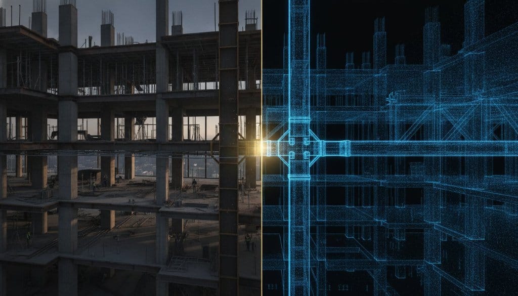
The difference lies in the utility of the data. A passive point cloud is a heavy, static file that often sits unused in a server. In contrast, an active digital twin is a living business asset. It integrates seamlessly into your marketing and operational workflows. LiDAR technology uses light-based sensing to provide the foundational "truth" for architectural and maritime documentation — from grand ballrooms at five-star hotels to the intricate decks of luxury superyachts showcased at events like the Singaporean Yachting Festival, Sanlorenzo Yachts fleet presentations, and the Thailand International Boat Show. It creates a measurable environment where every centimeter is accounted for and every detail is interactive.
Why 'Good Enough' Drone Photos Fail Luxury Brands
In the high-stakes world of MICE sales and yachting, an inch of error is a mile of failure. If a ballroom measurement is off by even a small margin, a million-dollar gala setup fails to fit. Passive 2D photos lack the depth required for complex logistical planning. They offer visual fidelity without spatial accuracy. You need inspection-grade assets. This evolution replaces "pretty pictures" with high-fidelity digital environments that allow your team to measure, modify, and manage the space with absolute certainty. It's about moving from a visual representation to a functional reality.
The ROI of Spatial Intelligence
Spatial intelligence transforms how global enterprises interact with their physical holdings. By utilizing high-precision drone mapping, companies drastically reduce site visit costs through remote, high-precision virtual inspections. Decision-making in real estate and maritime sales accelerates when stakeholders can explore a space with total confidence in its dimensions. From hotel chains planning MICE events to yacht brokers qualifying international buyers at the Thailand International Boat Show or Singaporean Yachting Festival, spatial intelligence is the strategic layering of interactive data onto high-fidelity digital replicas to drive measurable commercial decisions.
Technical Excellence: What Defines a Leading Aerial LiDAR Mapping Agency?
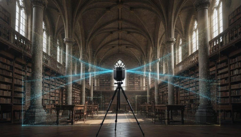
Technical precision is the baseline. In 2026, the distinction between a standard vendor and a premier aerial LiDAR mapping agency is defined by the integration of multi-sensor payloads. While traditional photogrammetry captures the visual texture of a resort or superyacht, it often fails to penetrate dense canopy or resolve complex structural shadows. An elite agency utilizes simultaneous collection, combining LiDAR, high-resolution cameras, and hyperspectral sensors to create a layered intelligence profile. This approach ensures that every light pulse contributes to a comprehensive, high-fidelity model that serves both aesthetic and engineering requirements.
Understanding the mechanics is essential for high-stakes decision-making. Leading agencies now adhere to the ASPRS Positional Accuracy Standards for Digital Geospatial Data (2024), which mandates a minimum of 30 checkpoints for accuracy assessment. This rigorous technical framework ensures that your digital twin isn't just a visual representation; it's a verifiable source of truth for architectural documentation and maritime safety — critical whether documenting a Sanlorenzo Yachts superyacht or a luxury resort's event spaces.
UAV vs. Fixed-Wing: Choosing the Right Platform
Scale dictates the strategy. For high-detail site mapping, such as meticulously planned event grounds or intricate yacht exteriors, drone-based LiDAR is the superior choice. These platforms offer the agility to navigate complex geometries at lower altitudes, resulting in higher point density. Conversely, large-scale resort developments or coastal documentation projects often require fixed-wing LiDAR. These aircraft cover vast areas efficiently while maintaining the structural integrity of the data. A sophisticated agency maintains a diverse fleet, selecting the platform that aligns with your asset's specific complexity and scale.
From Point Clouds to High-Fidelity Meshes
Raw data is chaotic. A point cloud is merely a collection of coordinates; it requires visionary post-production to become a navigable business environment. This is where 360INT excels. We don't just deliver data. We provide the next evolution of spatial intelligence. Our process cleans and optimizes raw pulses into high-fidelity meshes that meet the aesthetic standards of luxury brands. Utilizing LiDAR, enhanced by 360INT, we layer proprietary software onto the foundation to transform technical scans into interactive engagement platforms.
Industrial Accuracy vs. Commercial Intelligence: A Buying Guide
Precision is the price of entry. However, for a luxury resort or a global maritime enterprise, a spreadsheet of coordinates is functionally useless. An aerial LiDAR mapping agency must deliver more than just "correct" data; it must deliver a strategic environment. Industrial mapping is typically designed for topography and volumetric analysis. While it satisfies USGS standards, it often fails to provide the user experience (UX) required for high-stakes sales enablement. You need a partner that bridges the gap between raw spatial truth and commercial utility.
The evaluation of a potential partner should focus on three specific dimensions: Accuracy, Interactivity, and Integration. Traditional vendors often deliver raw LAS or LAZ files. These are massive, technical formats that internal marketing and sales teams can't open or interpret. In contrast, an experience-driven agency transforms those pulses into interactive, web-based platforms. This is the 360INT approach. We ensure that the data is "Upgraded for Business," moving it from a server-side liability to a client-facing asset that drives ROI and operational efficiency.
The Three Pillars of an Experience-Driven Agency
- Pillar 1: Technical Precision. This is the "Truth" of the data. It ensures that every measurement within your digital twin is inspection-grade, supporting MICE planning and architectural documentation with absolute certainty.
- Pillar 2: Brand Fidelity. This is the "Soul" of the visual experience. High-stakes assets require a level of aesthetic polish that standard industrial scans lack. The environment must feel as premium as the physical space it represents.
- Pillar 3: Business Functionality. This is the "Utility" of the platform. It involves layering intelligence onto the 3D model, such as lead qualification tools, e-commerce integration, or AI-driven room recognition.
Red Flags to Avoid When Selecting a LiDAR Partner
The "Hardware-Only" trap is a common pitfall. Owning a high-end drone doesn't make an agency a spatial intelligence partner. If a vendor cannot demonstrate how their data integrates with custom software layers, they are delivering a half-finished product. Passive experiences have limited business functionality. You should also be wary of agencies that lack vertical expertise in luxury hospitality or maritime sectors. These industries have unique nuances — a partner who doesn't understand the flow of a ballroom event, the structural complexity of a Sanlorenzo Yachts superyacht, or the operational demands of the Thailand International Boat Show will fail to capture the intelligence that matters most.
Strategic Implementation: From Raw Data to Operational Digital Twins
The implementation phase is where vision becomes operational reality. A strategic aerial LiDAR mapping agency doesn't merely collect data. They architect a deployment roadmap that integrates the digital twin into your existing marketing and sales infrastructure. This involves mapping the client journey within the digital environment, identifying key interaction points, and building the integrations that drive commercial action. True digital twin integration activates the data, transforming it from a static snapshot into a live business asset for every client touchpoint.
MICE and Event Planning: The Power of Precision
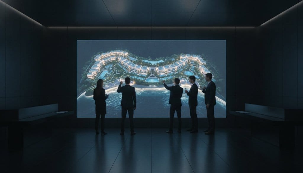
For high-end hospitality, the ballroom is a revenue engine. We use LiDAR to create millimeter-accurate floor plans essential for complex ballroom and event sales. These digital twins enable remote venue inspections, effectively eliminating the need for costly physical site visits for international clients. Vendors and planners gain access to integrated measurement tools to verify stage placements and seating charts with total certainty. By providing a functional platform, you reduce friction for organizers and maximize venue utilization.
The 360INT Advantage: Evolving LiDAR into Experience Marketing Platforms
Raw data is a commodity. Intelligence is a competitive advantage. While a standard aerial LiDAR mapping agency delivers a static file, 360INT delivers a future. Most vendors stop at the point cloud, leaving your team to navigate a technical labyrinth. We begin where they end. Our approach bridges the gap between engineering-grade precision and cinematic brand storytelling. It's a strategic fusion that ensures your digital twin is as evocative as it is accurate. We don't just measure dimensions; we capture the soul of the asset to drive measurable ROI and operational efficiency for global brands.
Utilized LiDAR. Enhanced by 360INT. This is our proprietary methodology for spatial intelligence. By integrating spatial data into your sales and marketing workflows — whether for luxury hotels, maritime events like the Singaporean Yachting Festival, or fleet showcases by Sanlorenzo Yachts — we turn a technical scan into an active commerce platform.
Intelligent Matterport Experiences Upgraded for Business
The 360INT philosophy is simple: technology is the foundation, but strategy is the product. We provide the next evolution of Matterport by adding the layers of intelligence that high-stakes assets require. These are not passive walkthroughs; they are intelligent Matterport experiences specifically upgraded for business. We customize digital twins with live booking engines for hospitality and e-commerce integrations for luxury showrooms. This ensures that every interaction is a step toward a commercial outcome.
Your Partner in Spatial Transformation
Global brands trust 360INT because we understand the nuances of high-end markets. We don't act as a mere vendor; we serve as visionary architects of digital worlds. Our guarantee is a partnership where data-driven strategy meets bold, aspirational creativity. We invite you to move beyond the limitations of traditional virtual tours and passive imagery. Collaborate with us to transform your physical space into a powerful, interactive, and measurable sales platform that defines the standard of excellence in 2026.
Frequently Asked Questions
What is the difference between drone photogrammetry and aerial LiDAR?
Photogrammetry creates 3D models by triangulating points from overlapping high-resolution photographs, while LiDAR uses active laser pulses to measure exact distances. While photogrammetry is excellent for capturing visual textures, LiDAR is superior for penetrating dense foliage and capturing the structural "truth" of complex assets. A premier aerial LiDAR mapping agency often fuses both technologies to deliver a model that balances cinematic fidelity with engineering-grade accuracy.
How accurate is aerial LiDAR mapping for architectural documentation?
It is millimeter-accurate and currently adheres to the ASPRS Positional Accuracy Standards for Digital Geospatial Data (2024), which requires a minimum of 30 checkpoints for verification. This precision provides a verifiable digital twin that eliminates the measurement errors common in traditional 2D methods.
Can LiDAR data be used for luxury yacht sales and marketing?
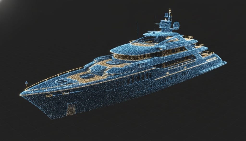
Yes, it transforms a technical vessel scan into a high-performance experience sales tool. This is particularly powerful at events like the Thailand International Boat Show or Singaporean Yachting Festival, where brands like Sanlorenzo Yachts can enable remote buyer qualification. By capturing the exact geometry of a superyacht, LiDAR allows potential buyers to explore every deck remotely with total confidence in the layout and condition.
What are the primary benefits of hiring a specialized aerial LiDAR mapping agency?
Specialization ensures you receive a functional business asset rather than an unreadable raw point cloud. A specialized aerial LiDAR mapping agency understands the nuances of high-stakes sectors like luxury hospitality and maritime, bridging the gap between raw engineering data and experience marketing.
How long does it take to process aerial LiDAR data into a usable digital twin?
The processing phase is the most intensive part of the lifecycle, often requiring up to 300% more time than the actual on-site data collection. A professional agency streamlines this complex workflow to deliver a polished, navigable platform within days or weeks depending on the asset's scale.
How does 360INT integrate LiDAR data with interactive sales tools?
We utilize Matterport as the structural foundation and enhance it with proprietary software layers and strategic interaction. This approach, defined as "Utilized Matterport. Enhanced by 360INT," allows us to add live booking engines, e-commerce hotspots, and measurement tools to the high-fidelity model.