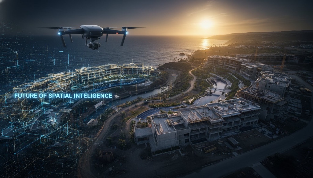
What if the most breathtaking aerial photograph of your estate is actually the most limiting asset in your portfolio? Standard photography captures a moment; it doesn't capture a dimension. You likely recognize the frustration of presenting a flat image to a remote stakeholder only to realize they cannot grasp the elevation, the depth, or the true potential of the site. It's a common hurdle in luxury development. High-end visuals are expected, yet static imagery often fails to bridge the gap between aesthetic beauty and actionable intelligence.
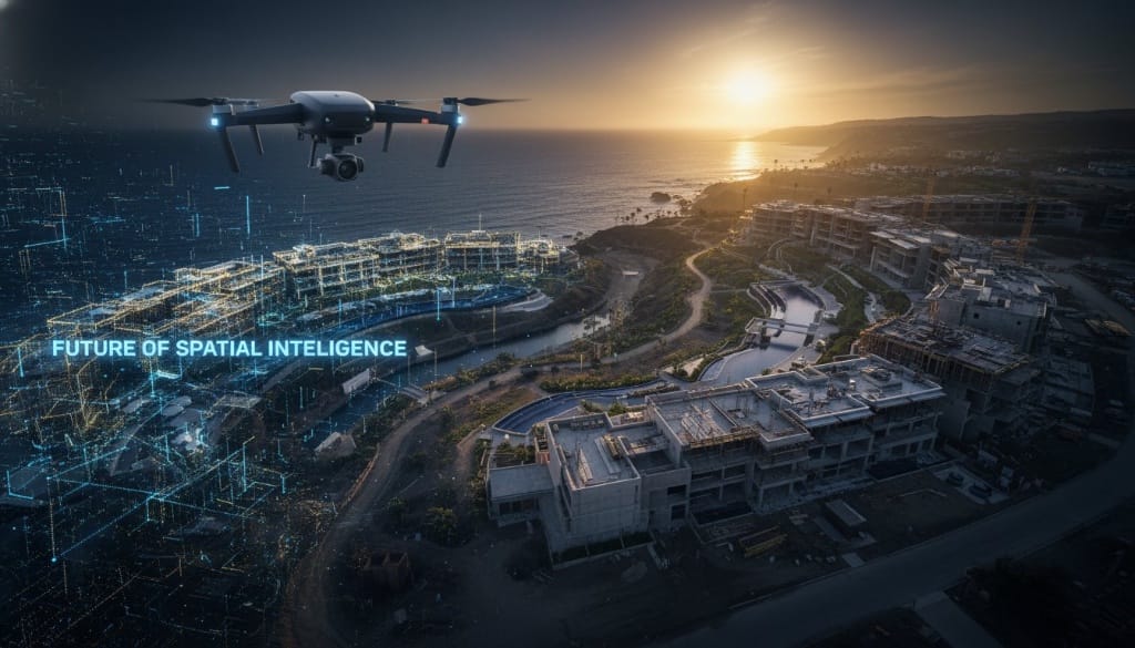
This article reveals how drone 3D site mapping transcends the traditional frame to deliver a high-fidelity digital twin. You'll discover how to transform vast physical landscapes into interactive, data-rich environments that drive ROI and streamline architectural planning. For sites exceeding five acres, these sophisticated digital surveys are often 50% to 75% more cost-effective than traditional ground-based methods. We're moving beyond the lens. We're entering an era where spatial intelligence serves as the foundational layer for both technical precision and immersive storytelling.
Key Takeaways
- Move beyond static imagery to capture the soul of a location through immersive environments that convey true scale, depth, and spatial intelligence.
- Navigate the technical divide between photogrammetry and LiDAR to ensure your spatial data meets both high-fidelity aesthetic standards and precise architectural requirements.
- Transform raw industrial data into an "Experiential Digital Twin" by layering brand storytelling and interactive hotspots over high-resolution scans.
- Discover why drone 3D site mapping is the essential 2026 upgrade for luxury assets, offering seamless integration with modern booking engines and sales technologies.
- Follow a strategic implementation framework to match your mapping approach with specific commercial goals, whether you are planning a resort or marketing a superyacht.
Table of Contents
- Beyond the Bird's Eye: Why Standard Aerial Photos Fail Luxury Site Planning
- Photogrammetry vs. LiDAR: Comparing the Engines of 3D Site Mapping
- Technical Surveys vs. Experiential Digital Twins: A Strategic Comparison
- Implementation Framework: Selecting the Right Drone Mapping Strategy for 2026
- From Data to Experience: How 360INT Transforms 3D Maps into Interactive Business Assets
Beyond the Bird's Eye: Why Standard Aerial Photos Fail Luxury Site Planning
A stunning aerial photograph captures the surface. It is elegant, polished, and evocative. However, for a high-stakes luxury asset, it is also fundamentally incomplete. Standard photography provides a frozen moment in time, while drone 3D site mapping provides a living environment. When you rely on 2D imagery, you are asking remote stakeholders to guess. You are leaving the most critical details of your asset — its volume, its elevation, and its true relationship with the surrounding landscape — to their imagination. This is the "flatness" problem. It is the gap between seeing a place and understanding it.
The shift from passive observation to active spatial exploration is the new mandate for global developers and event planners. A static image is a dead end. In contrast, a high-fidelity digital twin is a reusable asset that serves as the foundational layer for both technical planning and experiential marketing. Traditional photos lose their utility the moment the project evolves. A 3D map grows with it, offering a persistent, interactive workspace that can be revisited, measured, and shared across the globe at any time.
The Limitation of Perspective in Traditional Aerials
Standard photos lack the "z-axis." This missing dimension is critical for understanding architectural flow and the logistical realities of a site. In the world of MICE (Meetings, Incentives, Conferences, and Exhibitions), a pretty picture is insufficient for a venue inspection. Planners need to know if a marquee will fit on a specific terrace or if the sightlines from a VIP balcony are truly unobstructed. Relying on 2D references often leads to the "Technical Survey Trap," where miscommunications result in costly on-site adjustments. Through the science of photogrammetry, we replace these approximations with survey-grade reality, ensuring that every stakeholder is looking at the same objective truth.
Spatial Intelligence as a Luxury Standard
In the premium sector, precision is the ultimate luxury. High-fidelity spatial data has become a decisive competitive advantage in global real estate, allowing developers to bridge the gap between architectural vision and client expectations before a single stone is laid. It's no longer about simply showing a site; it's about proving its potential through data-driven immersion. Spatial intelligence is the convergence of precision data and immersive storytelling, where every pixel carries both weight and wonder. By adopting drone 3D site mapping, brands move beyond the limitations of the lens and begin to build in a world where data and desire are perfectly aligned.
Photogrammetry vs. LiDAR: Comparing the Engines of 3D Site Mapping
The distinction between seeing a surface and understanding a structure lies in the choice of sensor. While drone 3D site mapping serves as the overarching vision, the engine driving that vision is either light-based or image-based. Choosing between Photogrammetry and LiDAR isn't merely a technical decision — it's a strategic one that dictates whether your digital asset prioritizes aesthetic immersion or engineering-grade precision.
Photogrammetry for Visual Immersion
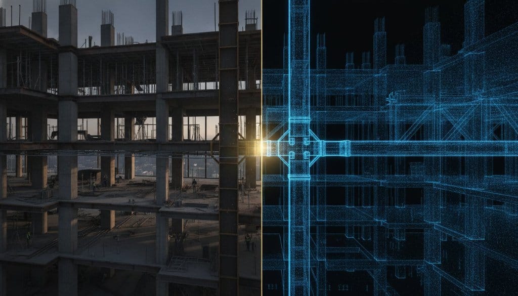
Photogrammetry is the art of stitching thousands of high-resolution images into a textured, three-dimensional reality. It is the preferred choice for luxury resorts and high-end retail storefronts where the emotional resonance of the space is paramount. By capturing the way light interacts with surfaces, this method creates a tactile feel in the digital environment. Professional drone 3D site mapping using photogrammetry relies heavily on sophisticated color science and specific lighting conditions to ensure the final model feels as vibrant as the physical location. It is about more than just data. It is about capturing the soul of the architecture in a way that feels seamless and inviting to a potential guest or investor.
LiDAR for Architectural Documentation
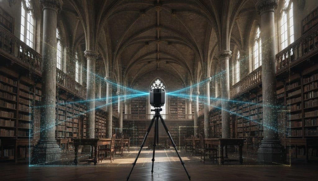
LiDAR, or Light Detection and Ranging, uses laser pulses to document complex architectural skeletons with absolute authority. It is essential for mapping superyachts, historic preservation projects, or large-scale event grounds hidden beneath heavy tree canopies. While photogrammetry sees the surface, LiDAR penetrates it. It generates dense point clouds that provide sub-centimetre accuracy, making it the gold standard for engineering and structural planning. If your project involves intricate geometry or challenging terrain, LiDAR provides the structural certainty that standard photography simply cannot match.
Visual fidelity and structural precision don't have to be mutually exclusive. At 360INT Experience Studio, we utilize hybrid workflows that combine the evocative textures of photogrammetry with the unyielding accuracy of LiDAR. This integrated approach creates a digital twin that serves both the marketing director and the lead architect. Explore our drone 3D scans and LiDAR mapping solutions.
Technical Surveys vs. Experiential Digital Twins: A Strategic Comparison
Most drone operators deliver a map. They provide a mesh of gray points and raw textures that satisfy a land surveyor but alienate a luxury guest. This is the Technical Survey Trap. While industrial-grade data is essential for the foundation, it often lacks the visual soul required to move a human heart or close a high-stakes sale. Drone 3D site mapping should be more than a dry documentation of coordinates; it must be a visionary bridge between technical truth and aspirational storytelling.
360INT Experience Studio operates as a holistic creative partner. We take the cold precision of LiDAR and photogrammetry and layer it with the warmth of cinematic videography and high-fidelity textures. The result is an Experiential Digital Twin — an environment where a stakeholder doesn't just observe data; they inhabit a vision.
The Marketing Value of a Digital Twin
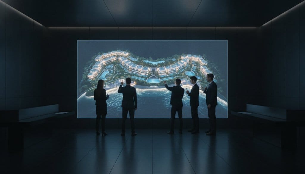
An experiential digital twin transforms a static site map into a persuasive virtual walkthrough. For prospective luxury buyers or resort guests, this immersion is the ultimate confidence builder. It allows them to explore the property with a level of agency that standard photography cannot provide. This depth directly impacts the bottom line by reducing third-party agency dependency. When a guest can experience the entire resort through an immersive 3D interface on your own website, the need for external validation disappears, driving a superior direct-booking experience.
Data Longevity and Multi-Department Utility
A single high-fidelity scan is an investment that pays dividends across the entire lifecycle of a luxury asset. The same data supports HR onboarding, MICE venue sales, architectural planning, and future-proofs your asset against emerging VR and AR technologies. By capturing the spatial intelligence of your property today, you ensure you have the foundational assets needed for the immersive platforms of tomorrow.
Implementation Framework: Selecting the Right Drone Mapping Strategy for 2026
Execution begins long before the first propeller spins. A successful drone 3D site mapping initiative requires a rigorous framework that aligns technical sensor selection with your ultimate commercial objective. You must first define your primary goal. Is this asset for architectural planning, immersive sales, or long-term documentation? Each path dictates a different fusion of technology and artistry.
Defining Project Scale and Scope
Scale dictates the toolset. For intimate interior spaces or small-scale retail environments, high-resolution 3D virtual tours remain the standard for granular detail. However, large-scale assets require the expansive reach of drone mapping. To achieve absolute geographic accuracy, the use of Ground Control Points (GCPs) is non-negotiable. These physical markers on the terrain anchor the digital model to real-world coordinates with sub-centimetre precision.
Selecting Software Integration Layers
The value of a digital twin lives in its accessibility. By 2026, compatibility with VR180 and immersive headsets has become a baseline requirement for luxury stakeholders. Our custom interactive technology ensures your 3D assets are not just stored, but explored. 360INT bridges the gap between complex spatial data and intuitive user experiences, preparing your asset for the future of spatial computing. Explore our drone 3D scanning solutions today.
From Data to Experience: How 360INT Transforms 3D Maps into Interactive Business Assets
Data without purpose is merely digital storage. While most industry players treat drone 3D site mapping as a terminal point, we view it as the foundational layer of a much larger narrative. Our philosophy is defined by "Experience Marketing" — a methodology that moves beyond the raw scan to create a functional business asset. By fusing the evocative power of high-end architectural photography with the cold precision of LiDAR, we create environments that speak to both the engineer and the investor.
Imagine a superyacht scan that isn't just a point cloud but a vibrant, interactive sales platform. A prospective buyer in London can explore the intricate layout of a vessel in the Mediterranean, feeling the texture of the materials and the flow of the decks through high-fidelity textures and cinematic overlays.
Proprietary Interactive Layers
We transform static 3D environments into dynamic, functional sales and operations platforms. Our custom tech allows us to layer intelligence onto physical forms in ways that drive direct commercial outcomes. We integrate live booking engines directly into the spatial interface — a guest can navigate a resort map and book a specific villa or restaurant table from within the 3D world. For MICE venue sales, we embed e-commerce hotspots and logistical tools that allow planners to visualize complex event flows with absolute certainty.
The Global Partner for Luxury Brands
Global hospitality leaders and developers trust 360INT because we understand the high-stakes nature of luxury assets. We aren't just a vendor; we are a visionary partner. Our commitment to bold innovation ensures that every scan serves a long-term purpose. We provide the technical depth required for architectural planning while maintaining the aesthetic polish necessary for global marketing campaigns. Elevate your asset with 360INT's 3D drone mapping services and discover how high-fidelity spatial intelligence can transform your business results.
Frequently Asked Questions
What is the difference between 3D drone mapping and standard aerial photography?
Standard aerial photography captures a single perspective at a fixed moment in time. In contrast, drone 3D site mapping constructs a comprehensive digital twin that allows for volumetric measurement and spatial interaction. While a photo is a flat reference, a 3D map is an intelligent environment providing the depth and scale necessary for high-stakes decision making.
How accurate is drone 3D site mapping for architectural planning?
High-fidelity 3D mapping achieves survey-grade accuracy typically ranging from 1 to 3 centimetres. This precision is reached through the use of RTK-enabled drones and strategically placed Ground Control Points. Standard photography cannot offer this level of geometric certainty for architectural flow or site development.
Which is better for a luxury resort: Photogrammetry or LiDAR?
Photogrammetry is generally superior for luxury resorts due to its ability to capture rich, lifelike textures and vibrant color science. However, LiDAR is essential if the site features dense tropical canopies or requires documentation of complex architectural skeletons. We often recommend a hybrid approach to ensure the digital twin has both visual soul for marketing and structural precision for engineering.
Can 3D drone maps be integrated into my existing website or booking engine?
Yes, our immersive digital twins are designed to integrate seamlessly with modern booking engines and e-commerce platforms. We layer custom interactive tech over the spatial data, allowing guests to transition from exploring a 3D map to securing a reservation in a single, fluid motion.
What are the primary industries that benefit from high-fidelity 3D site mapping?
Luxury hospitality, global real estate, and large-scale event sectors are the primary beneficiaries. Superyacht owners and MICE venue planners also use drone 3D site mapping to manage complex logistics and high-value sales cycles.
Is drone 3D mapping compatible with VR headsets for remote tours?
High-fidelity mapping data is fully compatible with VR180 and modern immersive headsets, allowing for profound remote tours where stakeholders can experience the true scale of an asset from anywhere in the world.
Do I need special software to view or interact with the 3D site map?
No specialized hardware or software is required. We deliver our 3D worlds through a sophisticated, web-based interface that works on standard browsers and mobile devices, making high-fidelity data available to every stakeholder instantly.