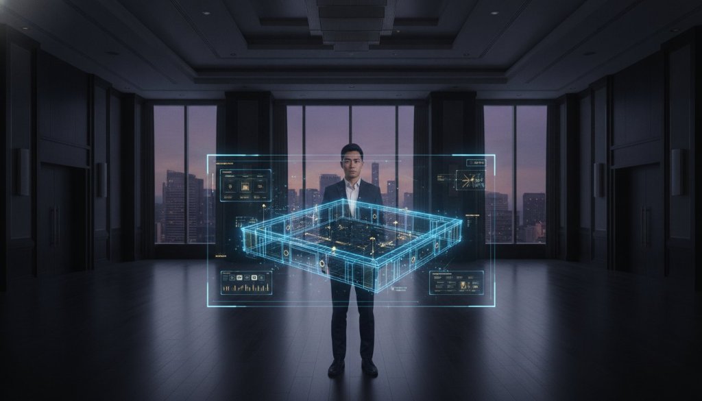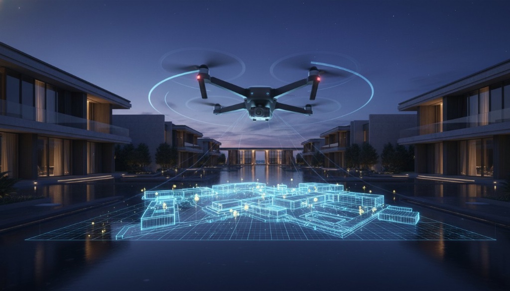
What if the most expensive mistake of your next international event was already hidden within the deceptive margins of a static site map? You've likely felt the tension of planning a complex layout around inaccurate measurements, only to face logistical failures when the production trucks actually arrive. Standard photography is no longer enough. The evolution of drone 3D mapping has replaced these flat, unreliable snapshots with high-fidelity spatial data that captures the true scale and flow of a luxury asset.
This definitive guide explores how these precision scans transform sprawling event venues into interactive, inspection-grade digital twins for seamless planning. By layering intelligence onto physical forms, you create a functional asset that stakeholders can explore from anywhere in the world.
Key Takeaways
- Replace static, unreliable site maps with high-fidelity digital twins that eliminate logistical blind spots and expensive event-day errors.
- Navigate the technical evolution of photogrammetry and LiDAR to capture the true spatial volume and sensory depth of complex luxury venues.
- See how professional drone 3D mapping bridges the gap between external landscapes and internal spaces through a unified interactive experience.
- Transform raw spatial data into an inspection-grade marketing asset that secures remote MICE bookings and global luxury real estate interest.
- Shift from basic hardware utility to a holistic digital strategy where interactive site maps become central to your CRM and sales ecosystem.
Table of Contents
- Beyond the Birds-Eye View: Why Standard Aerial Photos Fail Complex Events
- The Science of Precision: Photogrammetry, LiDAR, and Gaussian Splatting
- From Data to Experience: Transforming Raw Scans into Interactive Site Maps
- Strategic Applications: Logistics Planning, VIP Sales, and MICE Inspections
- Elevating the Asset: Why Global Brands Partner with 360INT Experience Studio for 3D Mapping
Beyond the Birds-Eye View: Why Standard Aerial Photos Fail Complex Events
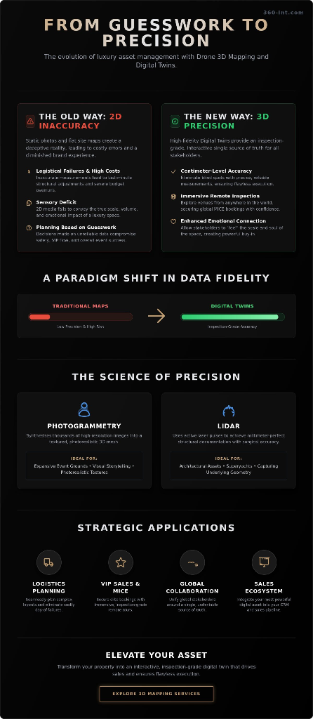
Standard aerial photography captures a moment. It fails to capture a dimension. For years, event planners relied on high-resolution snapshots to plan sprawling festivals and luxury summits. These 2D images offer a "flat world" perspective that ignores the complexities of elevation, volume, and spatial flow. When you're managing a high-stakes production, a photo isn't a plan; it's a guess. High-fidelity drone 3D mapping transforms this guesswork into a definitive digital twin — an inspection-grade asset that lives and breathes in three dimensions.
The High Cost of Inaccurate Site Data
Precision isn't a luxury. It's a requirement. Inaccurate site measurements are the silent killers of event budgets. Consider the placement of a multi-tier stage on uneven terrain. A standard photo suggests the ground is clear, but it hides the subtle grade changes that require thousands in last-minute shoring and structural adjustments. These logistical blind spots lead to day-of failures that compromise VIP flow and safety protocols.
By 2026, the standard has shifted. Planners now demand digital environments where they can measure distances to the centimeter without leaving their offices. Photogrammetry allows us to extract this exact data from thousands of overlapping images, creating a mathematical model that's as reliable as a physical survey — establishing a single source of truth for every stakeholder involved. See how we've delivered this precision for our clients.
The Sensory Deficit of Traditional Media
Static PDFs and 2D galleries suffer from a sensory deficit. They cannot convey the soul of a luxury asset. You see the space, but you don't feel the scale. There's a profound psychological shift when a stakeholder can "move" through a 3D virtual tour. It creates an immediate emotional connection that a flat image simply cannot trigger. This immersion is where technical data meets high-end hospitality.
Professional drone 3D mapping provides the foundational layer for this intelligence, allowing global brands to move beyond hardware utility toward holistic experiences. We aren't just capturing a photo. We're digitising an asset.
The Science of Precision: Photogrammetry, LiDAR, and Gaussian Splatting
Data without depth is just noise. True drone 3D mapping is the high-fidelity digital reconstruction of physical reality. By 2026, the technology has matured beyond simple point clouds into sophisticated meshes that can withstand the scrutiny of both engineers and luxury marketers. Explore our full technology stack.
Photogrammetry remains the cornerstone of this digital transformation. It functions by synthesising thousands of high-resolution images into a textured 3D mesh. Every pixel is triangulated, every shadow is accounted for, and every surface is rendered with a depth that feels tangible.
LiDAR vs. Photogrammetry: Which Does Your Asset Need?
LiDAR (Light Detection and Ranging) uses active laser pulses to achieve millimetre-perfect structural documentation. It's the gold standard for architectural assets and superyacht documentation. While photogrammetry excels at visual storytelling, LiDAR pierces through vegetation and captures the underlying geometry with surgical accuracy.
- LiDAR: Essential for superyachts, complex steel structures, and heavily wooded event sites.
- Photogrammetry: Best for high-end marketing, MICE site inspections, and expansive landscape visualisations.
Gaussian Splatting: The Future of High-Fidelity Realism
3D Gaussian Splatting represents the absolute bridge between raw spatial data and cinematic storytelling. It renders light and reflection with a level of fidelity previously reserved for high-budget film production, eliminating the "melted" look of traditional 3D drone models and replacing jagged edges with smooth, photorealistic surfaces. It's no longer just about seeing a map; it's about feeling the atmosphere of the space before you even arrive. Learn more about our rendering technology.
From Data to Experience: Transforming Raw Scans into Interactive Site Maps
Most drone operators stop at the data. They provide a massive point cloud and consider the job done. This is insufficient. Raw data is a skeleton. At 360INT Experience Studio, we transform drone 3D mapping from a technical output into a functional business tool. It's the difference between owning a blueprint and walking through a finished estate.
We integrate expansive aerial scans with our high-end 3D virtual tours, creating a seamless transition between the vastness of the landscape and the intimate detail of interior spaces. A user can fly over a festival ground and, with a single click, step inside a VIP lounge.
Layering Intelligence onto Physical Forms
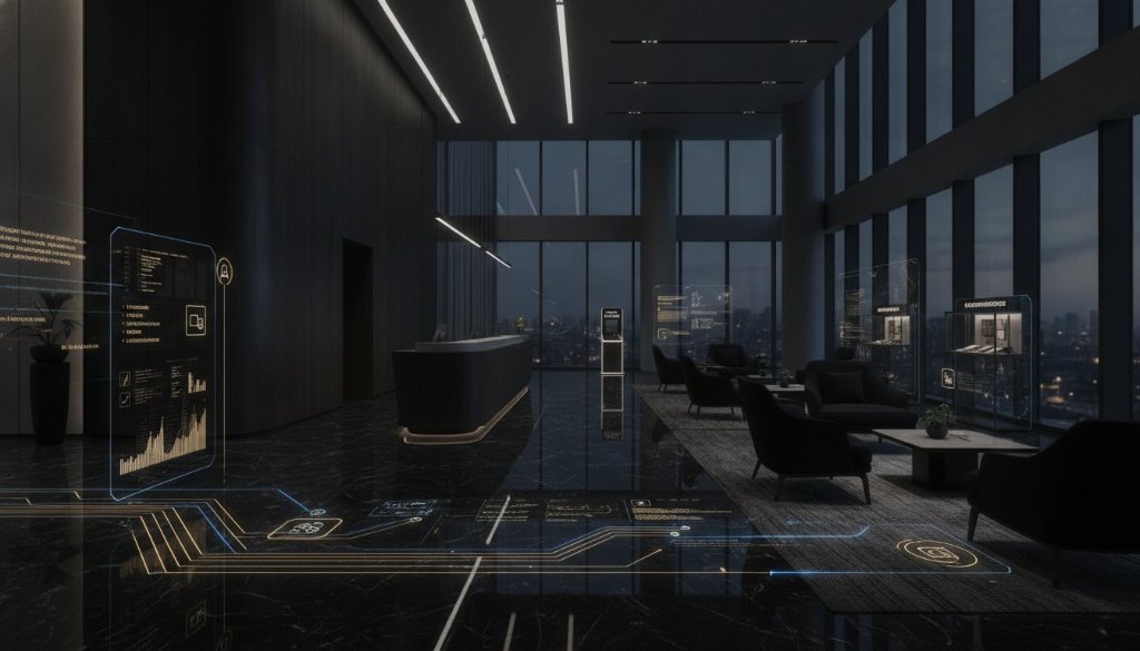
We add the soul to the scan through custom storytelling overlays. We embed hotspots that link specific 3D coordinates to booking engines, technical equipment specs, or real-time capacity sensors. Imagine a planner clicking a stage area to see its exact electrical load-out or a yacht buyer clicking a deck to view cinematic videography of that specific space.
The Unified Digital Twin
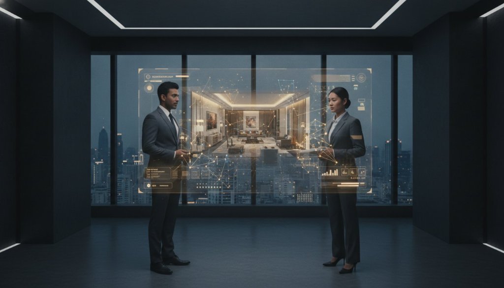
By blending aerial drone 3D mapping with ground-level 360 photography, we allow users to zoom from the clouds down to a tabletop. This unified digital twin is engineered for cross-platform compatibility — mobile, desktop, and VR users experience the same high-fidelity performance. Global teams can perform remote inspections that feel as tangible as a physical visit.
Strategic Applications: Logistics Planning, VIP Sales, and MICE Inspections
Data is only as valuable as the decisions it enables. For the MICE sector (Meetings, Incentives, Conferences, Exhibitions), this technology has become the new standard for remote inspections, allowing global planners to commit to a venue without the friction of international travel.
Luxury real estate and superyacht brokers use these models to create inspection-grade assets — verifiable digital twins that provide a transparent view of the property, reducing the risk profile of high-value transactions and allowing international buyers to progress through the sales funnel with complete confidence.
Logistics Command: Eliminating Event-Day Surprises
For event logistics teams, drone 3D mapping becomes a command-and-control tool. Production managers can plan trucking routes through complex venue layouts, identify potential choke points, and simulate load-in sequences. This isn't theoretical planning; it's real-world simulation that eliminates costly day-of surprises.
The VIP Sales Suite
Luxury hospitality groups are using interactive aerial tours as their most powerful sales tool. Rather than sending static PDFs of a resort or yacht charter destination, their sales teams share a link to an interactive environment. The prospective client explores the space at their own pace, building an emotional investment before the first conversation. This transforms the sales call from a pitch into a confirmation. Browse real-world examples in our project portfolio.
MICE: The Global Inspection Revolution
The MICE industry lost billions during years when international travel was disrupted. Drone 3D mapping proved to be the solution that allowed planners to conduct site inspections remotely. A conference organiser in Frankfurt could inspect an event venue in Phuket with centimetre-level accuracy, confirm room configurations, and approve the layout — all before booking a flight. This capability is now a permanent fixture of how global events are sold and planned.
Elevating the Asset: Why Global Brands Partner with 360INT Experience Studio for 3D Mapping
There is a significant difference between drone data and drone intelligence. Many service providers can fly a drone and generate a point cloud. Very few can transform that data into a living, breathing brand asset that generates revenue. This is the core distinction of the 360INT approach.
We operate at the intersection of precision technology and luxury marketing. Our workflow begins with the mission plan — analysing the physical asset, the stakeholder needs, and the desired commercial outcome before a single drone is launched. We select the appropriate technology stack (photogrammetry, LiDAR, or a hybrid approach) based on the specific deliverable required.
Integration with Your Commercial Ecosystem
A standalone 3D model has limited value. When integrated into a CRM, a booking platform, or a global OTA partnership, it becomes a conversion machine. 360INT's models are built for integration. We work with your digital marketing, sales, and technology teams to ensure the asset is embedded where it has maximum commercial impact — not just hosted on a page that nobody visits.
The Global Credibility Standard
International brands — from five-star hotel groups to luxury yacht charter companies — use 360INT's drone 3D mapping capabilities as a credibility signal. In a market saturated with standard photography, a high-fidelity interactive digital twin communicates a commitment to transparency and quality that resonates deeply with the discerning luxury consumer. It signals that your asset has nothing to hide and everything to show.
Post-Delivery Intelligence & Analytics
Our engagement doesn't end at delivery. We provide analytics dashboards that track how stakeholders interact with the 3D environment — which areas generate the most dwell time, which hotspots drive the most bookings, and which viewing paths suggest the strongest purchase intent. This data loop allows for continuous optimisation of both the asset and the sales strategy it supports. Learn more about our digital marketing integration.
Conclusion: The Era of Spatial Intelligence Has Arrived
The transition from standard aerial photography to precision drone 3D mapping is not an upgrade. It is a fundamental shift in how luxury assets are documented, marketed, and sold. The era of guesswork — where planners, buyers, and stakeholders navigated complex environments using flat, inaccurate media — is over.
High-fidelity digital twins, powered by photogrammetry, LiDAR, and Gaussian Splatting, have established a new standard of truth. They transform a physical asset into a global, interactive, inspection-grade experience. For event planners, they eliminate logistical failures. For luxury real estate brokers, they accelerate international transactions. For MICE venues, they unlock a worldwide audience of remote buyers who can now inspect, commit, and book without ever leaving their offices.
360INT Experience Studio stands at the forefront of this spatial intelligence revolution. We don't just capture data; we build assets that generate commercial outcomes. Every mission is engineered to deliver not just a model, but a measurable return on the investment in your physical asset. Explore our portfolio of completed projects.
The most sophisticated venues, yachts, and event destinations in the world are choosing drone 3D mapping not because it's cutting-edge, but because it works. It converts. It closes deals. And it will become the baseline expectation for every serious luxury asset in the global market within the next 24 months.
The question is no longer whether you need a digital twin. The question is whether you can afford to compete without one.